Transport Functions
Rail
Road
Hub Profile
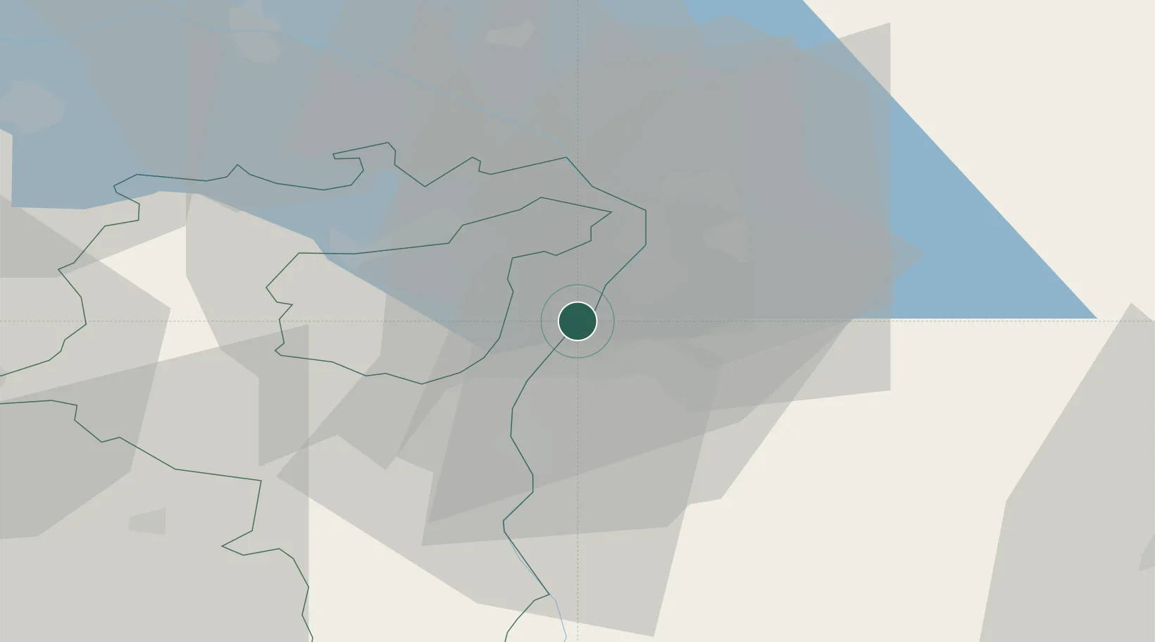
Place type
Populated place
Region
Saint Gallen
Population
7,675
Time zone
Europe/Zurich
Elevation
419 m
Location
Nearby Logistics Neighbours
Ports
- 1Porto Di Lido-Venezia305 km
- 2Porto Di Chioggia313 km
- 3Nogaro325 km
- 4Genova328 km
- 5Chiavari - Lavagna335 km
Airports
Trade Zones
- 1Livigno Free Trade Zone96 km
- 2Magazzini Generali Con Chiasso170 km
- 3ZFU Mulhouse174 km
- 4ZFU Neuhof191 km
- 5ZFU Hautepierre199 km
DatabookThe Record of Consolidated Knowledge
Switzerland beyond logistics?