Transport Functions
Rail
Road
Hub Profile
Place type
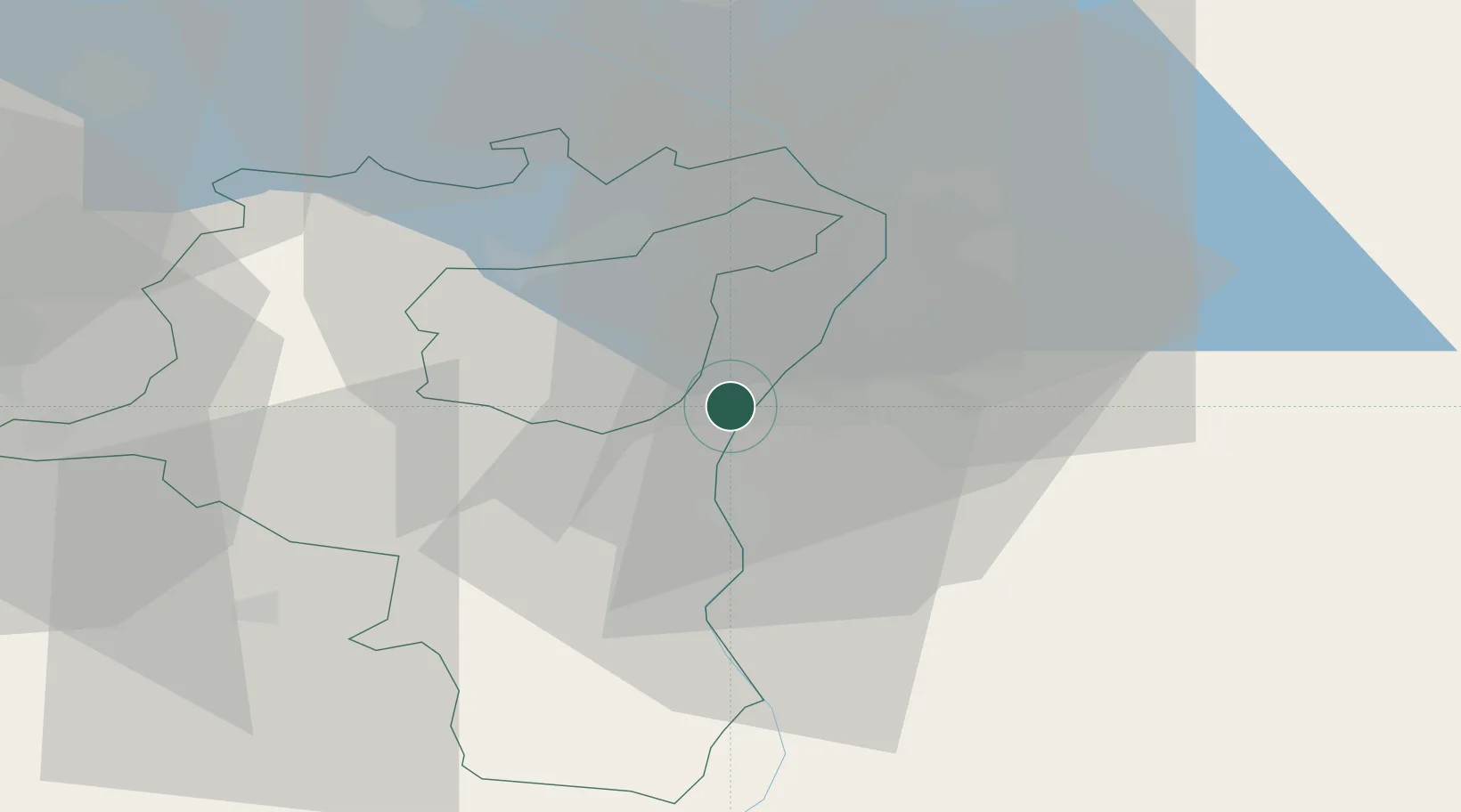
Populated place
Region
Saint Gallen
Population
4,768
Time zone
Europe/Zurich
Elevation
454 m
Location
Nearby Logistics Neighbours
Ports
- 1Porto Di Lido-Venezia305 km
- 2Porto Di Chioggia312 km
- 3Genova322 km
- 4Nogaro327 km
- 5Chiavari - Lavagna330 km
Airports
- 1Sankt Gallen Altenrhein Airport25 km
- 2Bodensee Airport Friedrichshafen45 km
- 3Dübendorf Air Base66 km
- 4Zürich Airport75 km
- 5Engadin Airport87 km
Trade Zones
- 1Livigno Free Trade Zone94 km
- 2Magazzini Generali Con Chiasso164 km
- 3ZFU Mulhouse171 km
- 4ZFU Neuhof192 km
- 5ZFU Hautepierre200 km
DatabookThe Record of Consolidated Knowledge
Switzerland beyond logistics?