Transport Functions
Rail
Road
Hub Profile
Region
3
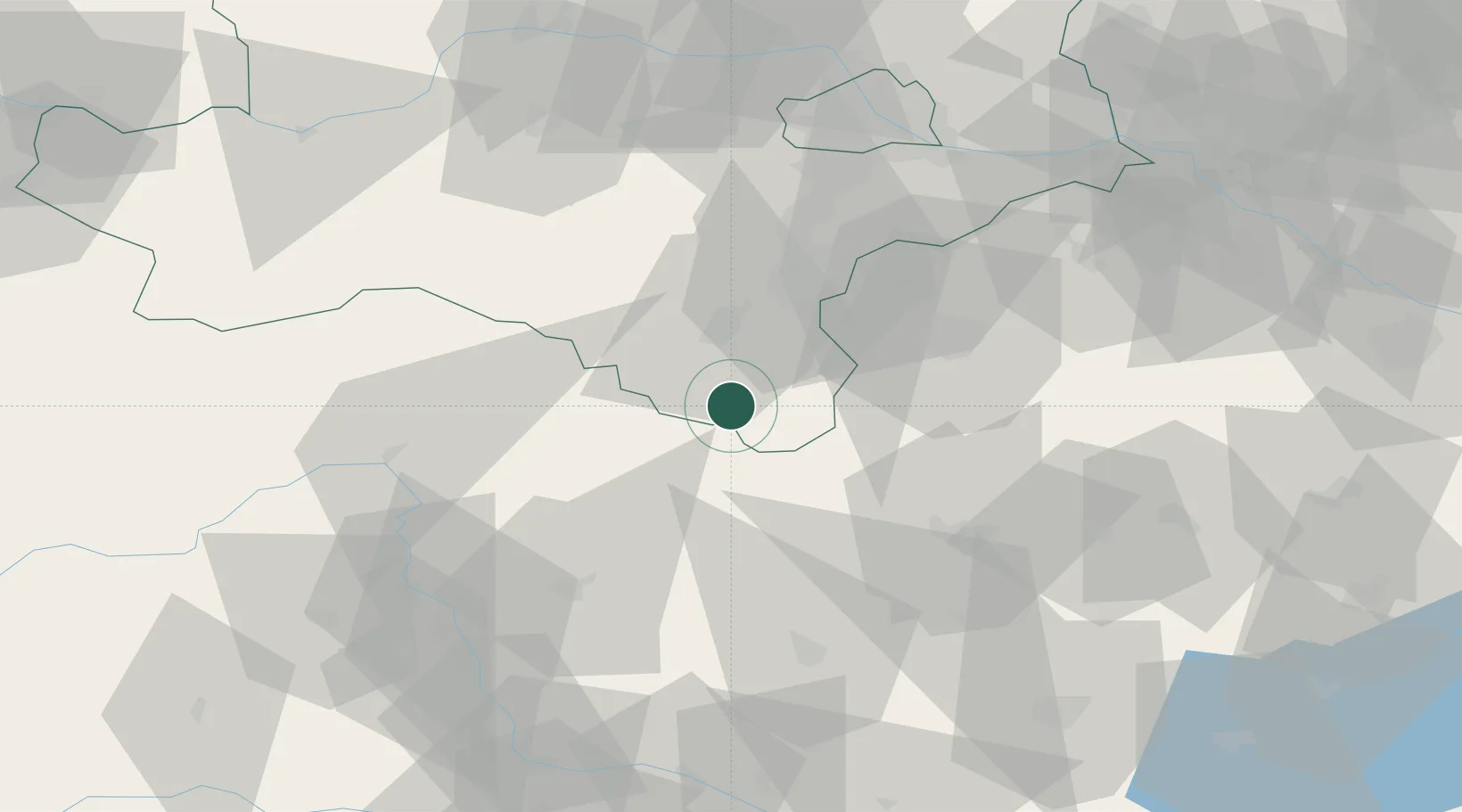
Location
Nearby Logistics Neighbours
Cities
- 1Pinkafeld21 km
- 2Riedlingsdorf23 km
- 3Waldbach23 km
- 4Wimpassing im Schwarzatale23 km
- 5Lanzenkirchen23 km
Ports
- 1Monfalcone276 km
- 2Trieste277 km
- 3Bakar277 km
- 4Rijeka Luka277 km
- 5Muggia280 km
Airports
- 1Wiener Neustadt West Airport34 km
- 2Wiener Neustadt East Airport35 km
- 3Vienna International Airport72 km
- 4Graz Airport79 km
- 5Hinterstoisser Air Base108 km
Trade Zones
- 1Sjever Free Zone141 km
- 2Krapina-Zagorje Free Zone156 km
- 3Veselí nad Moravou Industrial Zone183 km
- 4Černovická Terasa Industrial Zone186 km
- 5PJ Free Zone Zagreb195 km
DatabookThe Record of Consolidated Knowledge
Austria beyond logistics?