Transport Functions
Multimodal
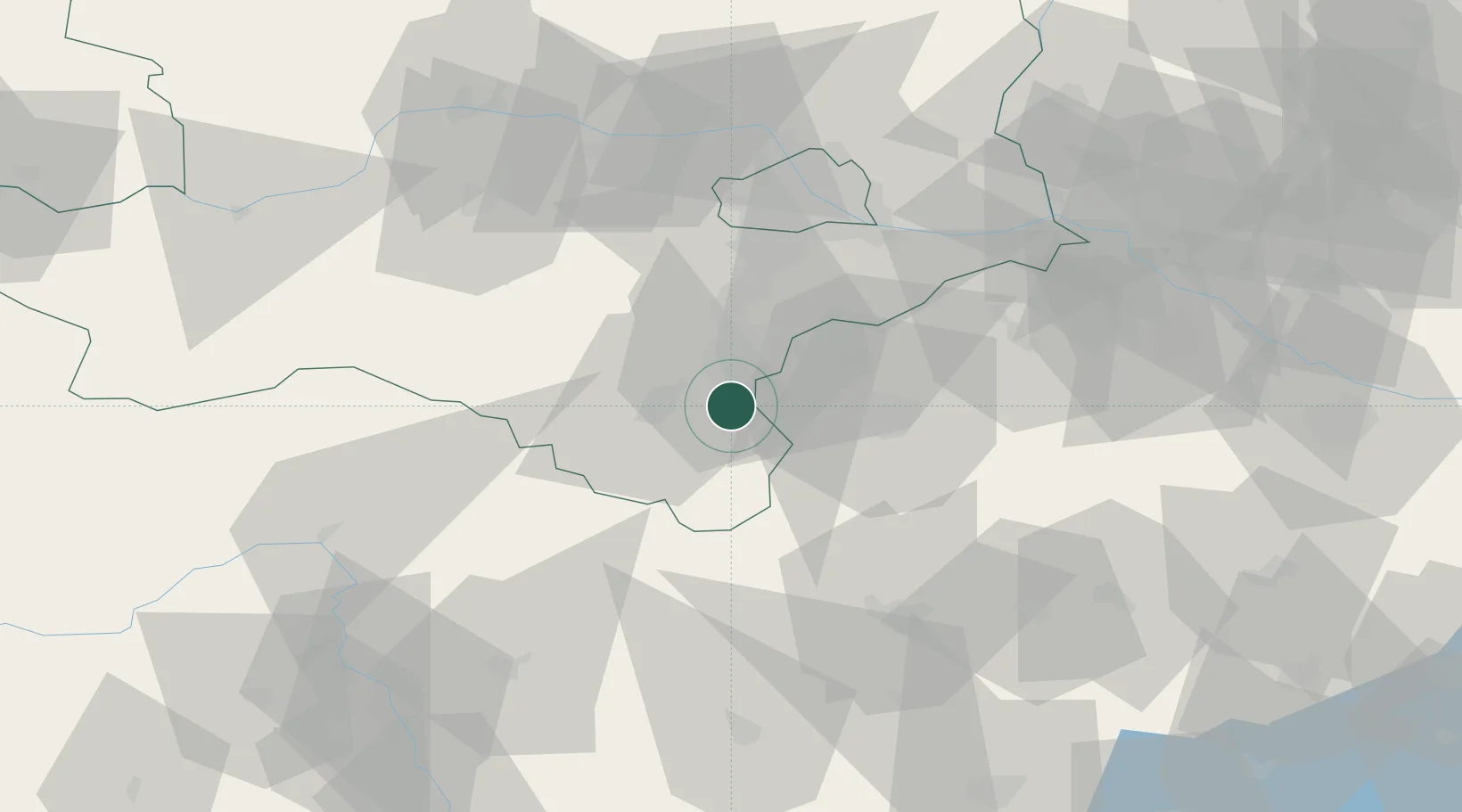
Hub Profile
Place type
District seat
Region
Lower Austria
Population
837
Time zone
Europe/Vienna
Elevation
304 m
Location
Nearby Logistics Neighbours
Cities
- 1Weikersdorf am Steinfelde11 km
- 2Bad Fischau12 km
- 3Rohrbach bei Mattersburg14 km
- 4Wöllersdorf-Steinabrückl14 km
- 5Willendorf15 km
Ports
- 1Monfalcone298 km
- 2Trieste299 km
- 3Bakar300 km
- 4Rijeka Luka300 km
- 5Muggia303 km
Airports
Trade Zones
- 1Veselí nad Moravou Industrial Zone160 km
- 2Sjever Free Zone161 km
- 3Černovická Terasa Industrial Zone163 km
- 4Krapina-Zagorje Free Zone178 km
- 5Holešov Industrial Zone202 km
DatabookThe Record of Consolidated Knowledge
Austria beyond logistics?