UN/LOCODE hub · Argentina
ARCDS

Capilla del Señor

-34.3000°, -59.1000°
2
Transport functions

Transport Functions

Rail
Road
UN/LOCODE

Hub Profile

Place type
Provincial seat
GeoNames
Region
Buenos Aires
GeoNames
Time zone
America/Argentina/Buenos_Aires
GeoNames
Elevation
24 m
GeoNames

Location

Location of ARCDS
Natural Earth 10m (public domain) · Buenos Aires · ARCDS · -34.30, -59.10GoogleOSMYandex

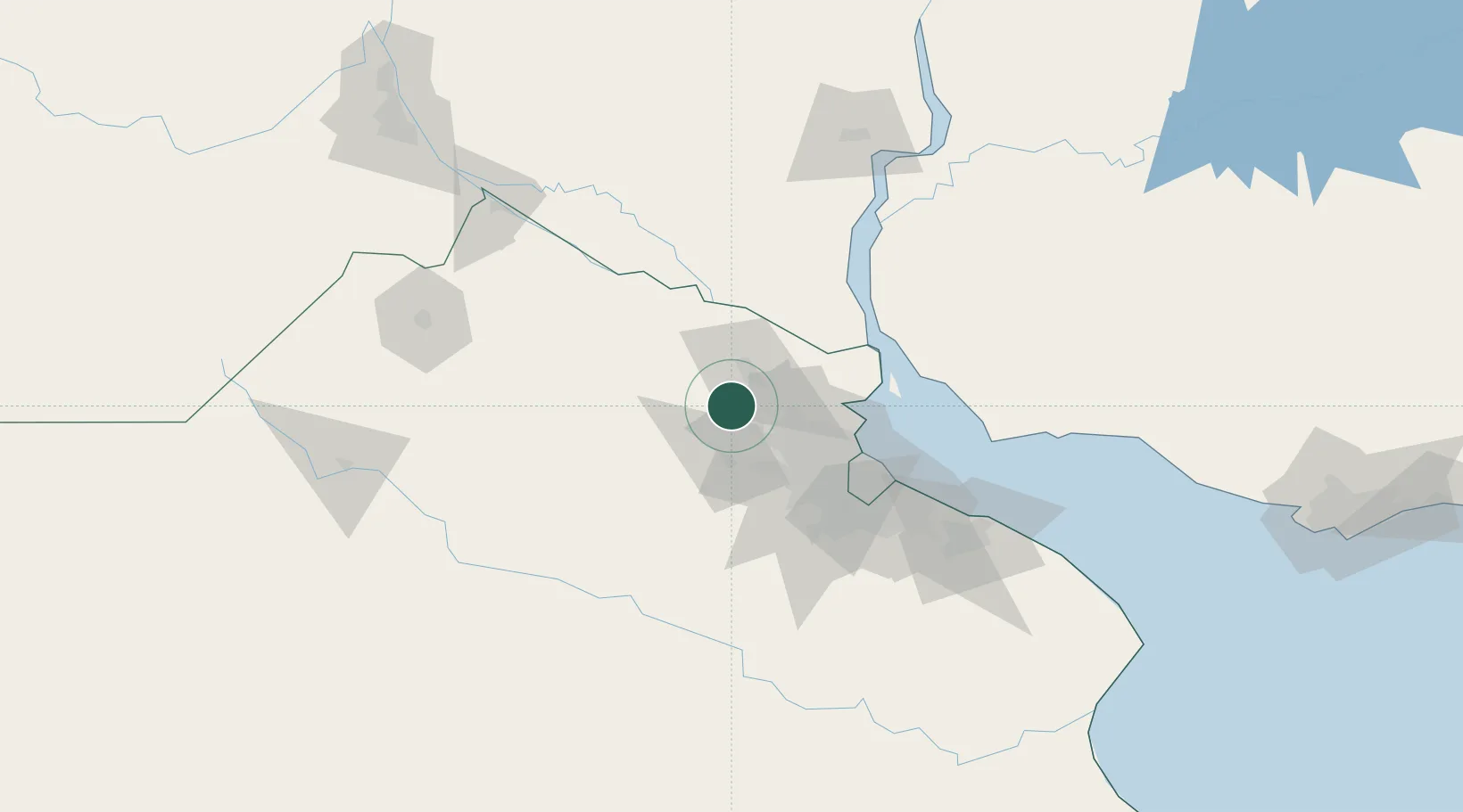
Nearby Logistics Neighbours

Cities
  1. 1Campana17 km
  2. 2Pilar24 km
  3. 3Zárate25 km
  4. 4Belén de Escobar26 km
  5. 5Luján30 km
Nearest neighbours — logibook spatial index (haversine) over the source coordinates
Ports
  1. 1Campana21 km
  2. 2Zarate25 km
  3. 3Puerto Ibicuy62 km
  4. 4Buenos Aires75 km
  5. 5Nueva Palmira78 km
Nearest neighbours — logibook spatial index (haversine) over the source coordinates
Airports
  1. 1San Fernando Airport50 km
  2. 2El Palomar Airport56 km
  3. 3Aeroparque Jorge Newbery69 km
  4. 4Ezeiza International Airport - Ministro Pistarini78 km
  5. 5La Plata Airport133 km
Nearest neighbours — logibook spatial index (haversine) over the source coordinates
Trade Zones
  1. 1Zona Sur Buenos Aires67 km
  2. 2Nueva Palmira Free Zone78 km
  3. 3Montes de Plata Free Zone97 km
  4. 4Colonia Free Zone118 km
  5. 5La Plata Free Trade Zone125 km
Nearest neighbours — logibook spatial index (haversine) over the source coordinates
DatabookThe Record of Consolidated Knowledge
Argentina beyond logistics?
Browse databook

All Sources

LocationsUN/LOCODE
UN/LOCODE — free
Portsthe NGA World Port Index
Public domain (US gov)
AirportsOurAirports
Public domain
Trade Zonesthe World Bank SEZ database
CC BY 4.0
Trade ZonesOpen Zone Map
CC BY
← Argentina locations