UN/LOCODE hub · Argentina
ARTUC

Tucumán

-26.8167°, -65.2167°
2
Transport functions

Transport Functions

Port
Airport
UN/LOCODE

Hub Profile

Region
T
GeoNames

Location

Location of ARTUC
Natural Earth 10m (public domain) · T · ARTUC · -26.82, -65.22GoogleOSMYandex

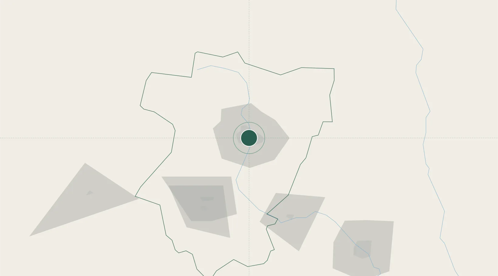
Nearby Logistics Neighbours

Cities
  1. 1Cevil Redondo8 km
  2. 2San Miguel de Tucumán9 km
  3. 3León Rouges54 km
  4. 4Güemes57 km
  5. 5Conceptión68 km
Nearest neighbours — logibook spatial index (haversine) over the source coordinates
Ports
  1. 1Puerto Chanaral543 km
  2. 2Taltal549 km
  3. 3Puerto Caldera557 km
  4. 4Puerto Calderilla561 km
  5. 5Huasco622 km
Nearest neighbours — logibook spatial index (haversine) over the source coordinates
Trade Zones
  1. 1Zona Franca Tucuman Free Trade Zone8 km
  2. 2Zona Franca de Salta235 km
  3. 3Córdoba Free Trade Zone507 km
  4. 4Zona Franca de San Luis780 km
  5. 5Justo Daract Free Trade Zone781 km
Nearest neighbours — logibook spatial index (haversine) over the source coordinates
DatabookThe Record of Consolidated Knowledge
Argentina beyond logistics?
Browse databook

All Sources

LocationsUN/LOCODE
UN/LOCODE — free
Portsthe NGA World Port Index
Public domain (US gov)
AirportsOurAirports
Public domain
Trade Zonesthe World Bank SEZ database
CC BY 4.0
Trade ZonesOpen Zone Map
CC BY
← Argentina locations