UN/LOCODE hub · Argentina
ARSMC
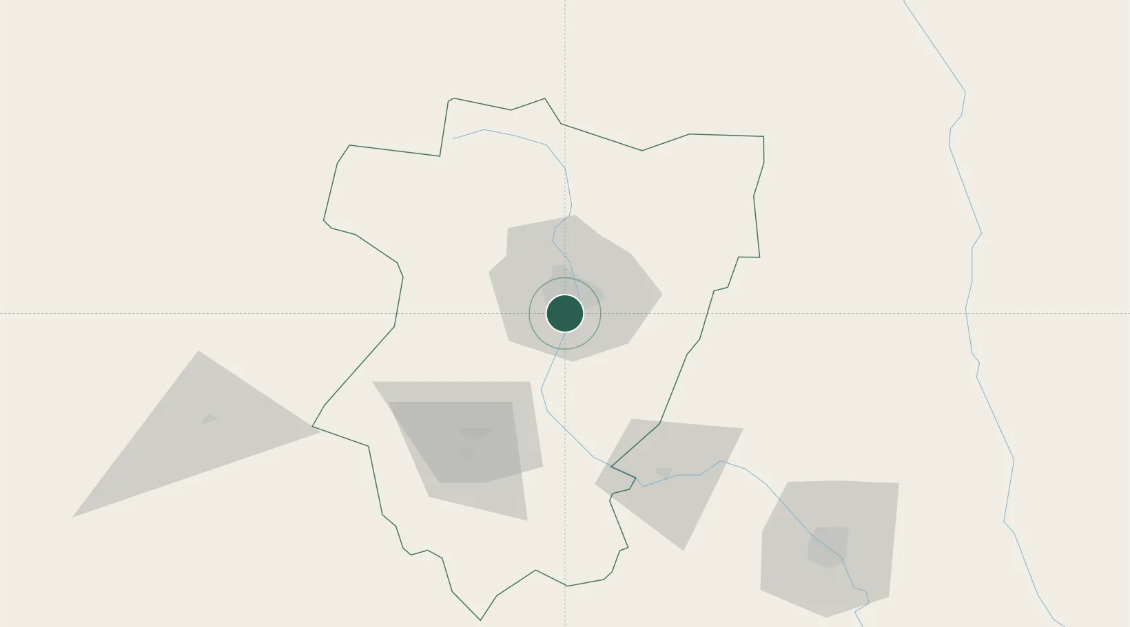
San Miguel de Tucumán
-26.8907°, -65.2381°
548,866
Population
2
Transport functions
Transport Functions
Rail
Road
Hub Profile
Place type
Regional capital
Region
Tucuman
Population
548,866
Time zone
America/Argentina/Tucuman
Elevation
440 m
Logistics facilities
2
Location
Nearby Logistics Neighbours
Cities
- 1Tucumán9 km
- 2Cevil Redondo13 km
- 3León Rouges47 km
- 4Güemes48 km
- 5Conceptión60 km
Ports
- 1Puerto Chanaral541 km
- 2Taltal549 km
- 3Puerto Caldera555 km
- 4Puerto Calderilla558 km
- 5Huasco617 km
Airports
Trade Zones
- 1Zona Franca Tucuman Free Trade Zone7 km
- 2Zona Franca de Salta244 km
- 3Córdoba Free Trade Zone500 km
- 4Zona Franca de San Luis772 km
- 5Justo Daract Free Trade Zone772 km
DatabookThe Record of Consolidated Knowledge
Argentina beyond logistics?