Transport Functions
Rail
Road
Hub Profile
Region
T
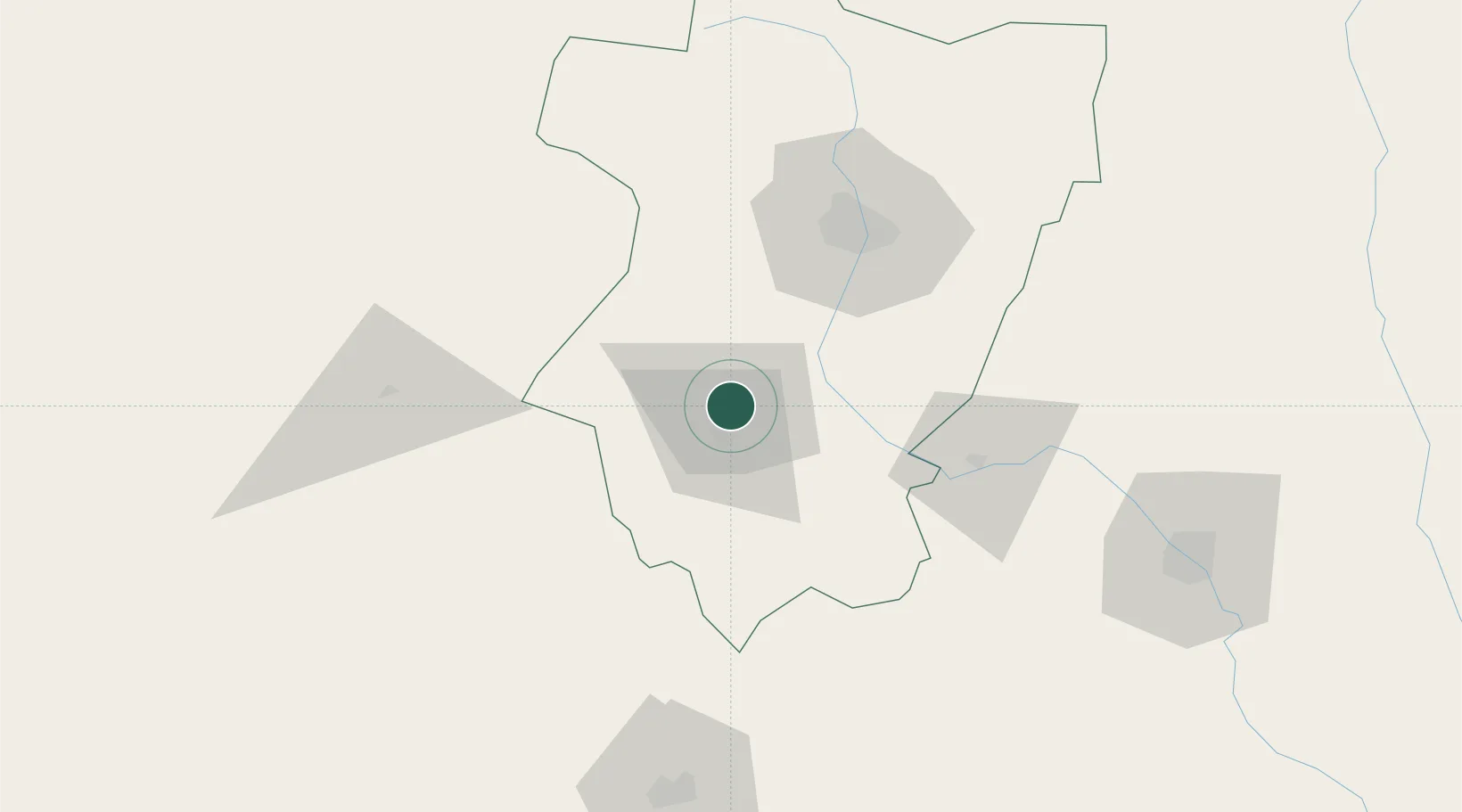
Location
Nearby Logistics Neighbours
Cities
- 1León Rouges14 km
- 2Güemes25 km
- 3San Miguel de Tucumán60 km
- 4Tucumán68 km
- 5Cevil Redondo68 km
Ports
- 1Puerto Chanaral514 km
- 2Puerto Caldera520 km
- 3Puerto Calderilla523 km
- 4Taltal533 km
- 5Huasco571 km
Airports
Trade Zones
DatabookThe Record of Consolidated Knowledge
Argentina beyond logistics?