Channel & Berth Profile
Pilotage, Tugs & Services
Pilotage compulsoryYES
Pilotage availableYES
Tug assistanceYES
Salvage tugsNO
Potable waterNO
Diesel bunkersYES
MedicalYES
Garbage disposalNO
Facilities & Capabilities
Container—
Ro-Ro—
Liquid bulk—
Dry bulk—
Oil terminal—
Break bulk—
Dry dock—
RepairsNO
BunkeringNO
Rail linkYES
Dangerous cargo—
ISPS security—
Harbour Specifications
Harbour size
Very Small
Harbour type
Open Roadstead
Shelter
Fair
Water body
South Pacific Ocean
Tidal range
1 m
Overhead limit
Yes
Pilotage
Yes
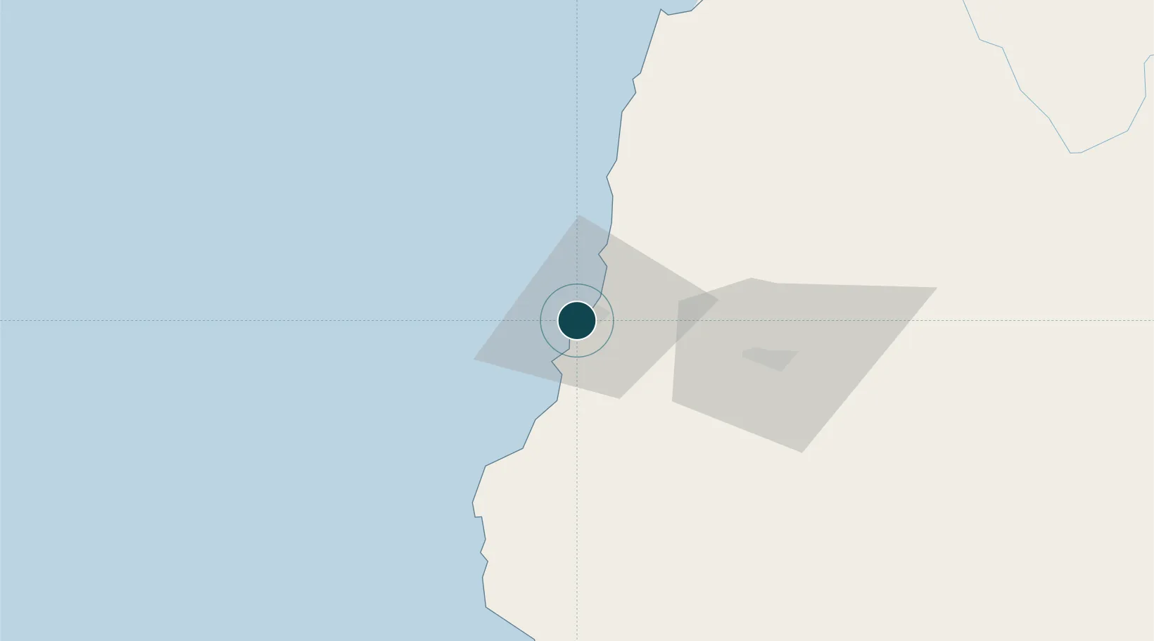
Location
Nearby Logistics Neighbours
Ports
- 1Puerto Calderilla158 km
- 2Puerto Caldera163 km
- 3Coquimbo165 km
- 4Bahia Herradura Guayacan167 km
- 5Puerto Chanaral243 km
Cities
- 1Freirina18 km
- 2Vallenar50 km
- 3Cruz Grande109 km
- 4Tierra Amarilla145 km
- 5Copiapó153 km
Airports
- 1Vallenar Airport50 km
- 2Desierto de Atacama Airport142 km
- 3La Florida Airport161 km
- 4Chañaral Airport246 km
- 5Ricardo García Posada Airport281 km
Trade Zones
- 1Zona Franca Mendoza Free Trade Zone555 km
- 2Zona Franca Tucuman Free Trade Zone625 km
- 3Zona Franca de Salta746 km
- 4Córdoba Free Trade Zone750 km
- 5Zona Franca de San Luis830 km
DatabookThe Record of Consolidated Knowledge
Chile beyond logistics?