Transport Functions
Multimodal
Hub Profile
Place type
Populated place
Region
Chaco
Time zone
America/Argentina/Cordoba
Elevation
108 m
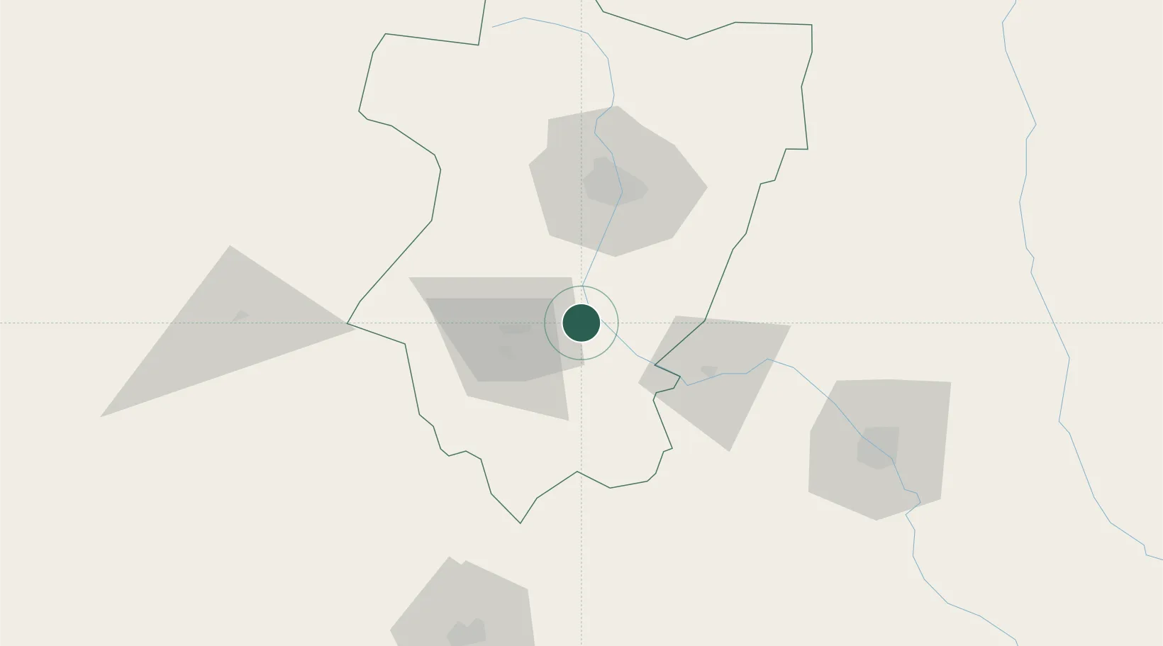
Location
Nearby Logistics Neighbours
Cities
- 1León Rouges23 km
- 2Conceptión25 km
- 3San Miguel de Tucumán48 km
- 4Tucumán57 km
- 5Cevil Redondo60 km
Ports
- 1Puerto Chanaral538 km
- 2Puerto Caldera545 km
- 3Puerto Calderilla548 km
- 4Taltal556 km
- 5Huasco595 km
Airports
Trade Zones
- 1Zona Franca Tucuman Free Trade Zone52 km
- 2Zona Franca de Salta292 km
- 3Córdoba Free Trade Zone455 km
- 4Zona Franca de San Luis725 km
- 5Justo Daract Free Trade Zone725 km
DatabookThe Record of Consolidated Knowledge
Argentina beyond logistics?