Medium airport · Argentina
Coronel Felipe Varela International AirportSANC
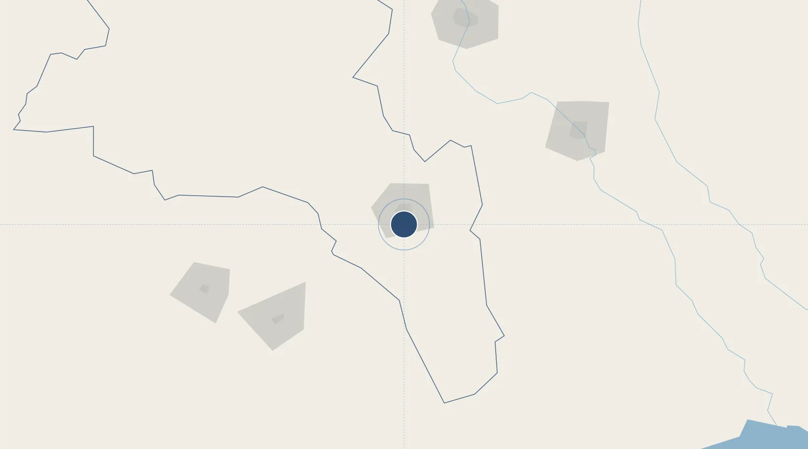
-28.5931°, -65.7512°
9,186 ft
Longest runway
1
Runways
1,522 ft
Elevation
Runway & Layout

Radio Frequencies
TWR
118.15 MHz
Navaids
CAT VOR-DME Catamarca 114.30 MHz
CAT NDB Catamarca 235 kHz
Runways · 1
| Runway | Dimensions | Surface | True heading | Lit |
|---|---|---|---|---|
| 02/20 | 9,186 × 98ft | Asphalt | 018° | ✓ |
Airport Specifications
IATA code
CTC
ICAO code
SANC
Airport class
Medium airport
Scheduled service
Yes
Runway surface
Asphalt
Served city
Catamarca
Location
Nearby Logistics Neighbours
Airports
Cities
- 1San Fernando del Valle de Catamarca14 km
- 2Poman50 km
- 3Lavalle75 km
- 4Andalgalá124 km
- 5Conceptión141 km
Ports
- 1Puerto Caldera528 km
- 2Puerto Calderilla530 km
- 3Huasco537 km
- 4Puerto Chanaral544 km
- 5Coquimbo562 km
Trade Zones
- 1Zona Franca Tucuman Free Trade Zone200 km
- 2Córdoba Free Trade Zone336 km
- 3Zona Franca de Salta438 km
- 4Zona Franca Mendoza Free Trade Zone585 km
- 5Zona Franca de San Luis585 km
DatabookThe Record of Consolidated Knowledge
Argentina beyond logistics?