Medium airport · Argentina
Termas de Río Hondo international AirportSANR
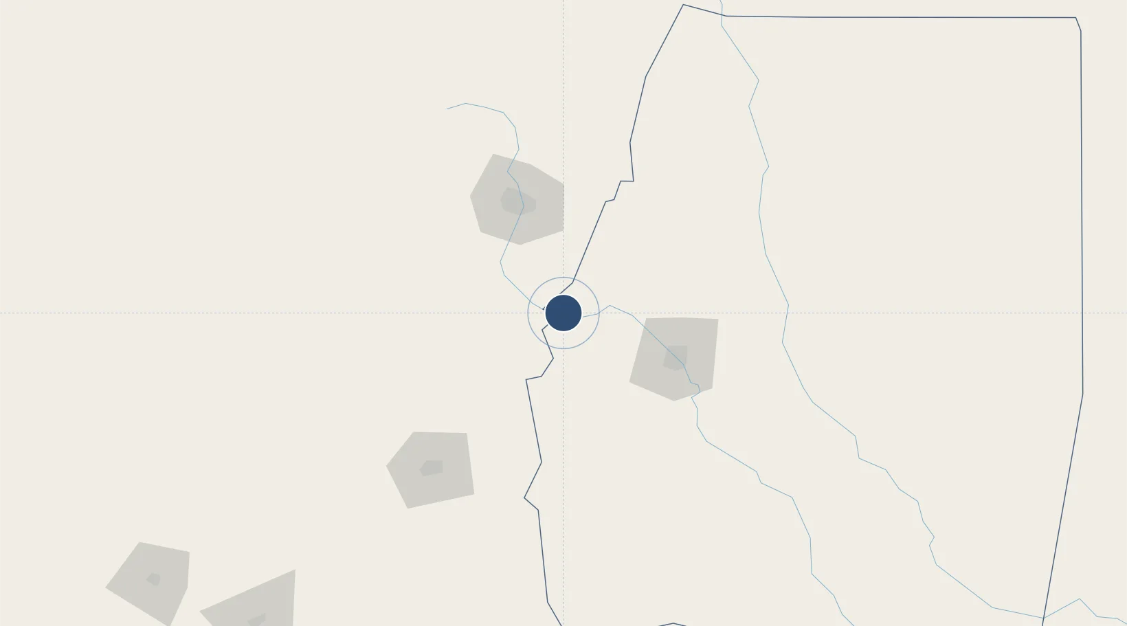
-27.4966°, -64.9360°
8,232 ft
Longest runway
1
Runways
935 ft
Elevation
Runway & Layout

Runways · 1
| Runway | Dimensions | Surface | True heading | Lit |
|---|---|---|---|---|
| 01/19 | 8,232 × 98ft | ASPHALT | 008° | — |
Airport Specifications
IATA code
RHD
ICAO code
SANR
Airport class
Medium airport
Scheduled service
Yes
Runway surface
ASPHALT
Served city
Termas de Río Hondo
Location
Nearby Logistics Neighbours
Airports
Cities
- 1Güemes44 km
- 2Conceptión66 km
- 3León Rouges67 km
- 4San Miguel de Tucumán74 km
- 5Tucumán81 km
Ports
- 1Puerto Chanaral581 km
- 2Puerto Caldera585 km
- 3Puerto Calderilla588 km
- 4Taltal599 km
- 5Santa Fe617 km
Trade Zones
- 1Zona Franca Tucuman Free Trade Zone73 km
- 2Zona Franca de Salta310 km
- 3Córdoba Free Trade Zone428 km
- 4Zona Franca de San Luis705 km
- 5Justo Daract Free Trade Zone705 km
DatabookThe Record of Consolidated Knowledge
Argentina beyond logistics?