Medium airport · Argentina
Vicecomodoro Angel D. La Paz Aragonés AirportSANE
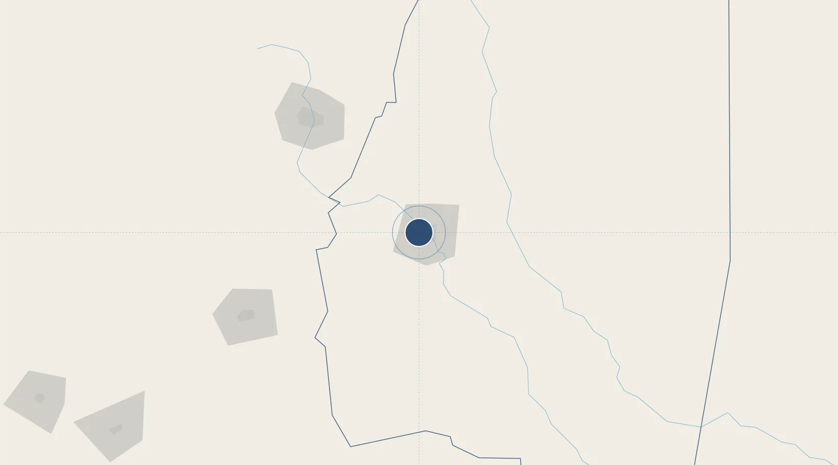
-27.7656°, -64.3100°
7,946 ft
Longest runway
1
Runways
656 ft
Elevation
Runway & Layout

Radio Frequencies
TWR
118.7 MHz
SANTIAGO TWR
Navaids
SDE VOR Santiago Del Estero 114.80 MHz
Runways · 1
| Runway | Dimensions | Surface | True heading | Lit |
|---|---|---|---|---|
| 3/21 | 7,946 × 148ft | Asphalt | 028° | — |
Airport Specifications
IATA code
SDE
ICAO code
SANE
Airport class
Medium airport
Scheduled service
Yes
Runway surface
Asphalt
Served city
Santiago del Estero
Location
Nearby Logistics Neighbours
Airports
Cities
- 1Lavalle94 km
- 2Güemes113 km
- 3San Miguel de Tucumán134 km
- 4Conceptión134 km
- 5León Rouges135 km
Ports
- 1Santa Fe555 km
- 2Parana571 km
- 3Diamante594 km
- 4Puerto Chanaral647 km
- 5Puerto Caldera649 km
Trade Zones
- 1Zona Franca Tucuman Free Trade Zone131 km
- 2Zona Franca de Salta348 km
- 3Córdoba Free Trade Zone392 km
- 4Zona Franca de San Luis680 km
- 5Justo Daract Free Trade Zone680 km
DatabookThe Record of Consolidated Knowledge
Argentina beyond logistics?