Transport Functions
Multimodal
Hub Profile
Place type
Populated place
Region
Tucuman
Time zone
America/Argentina/Tucuman
Elevation
339 m
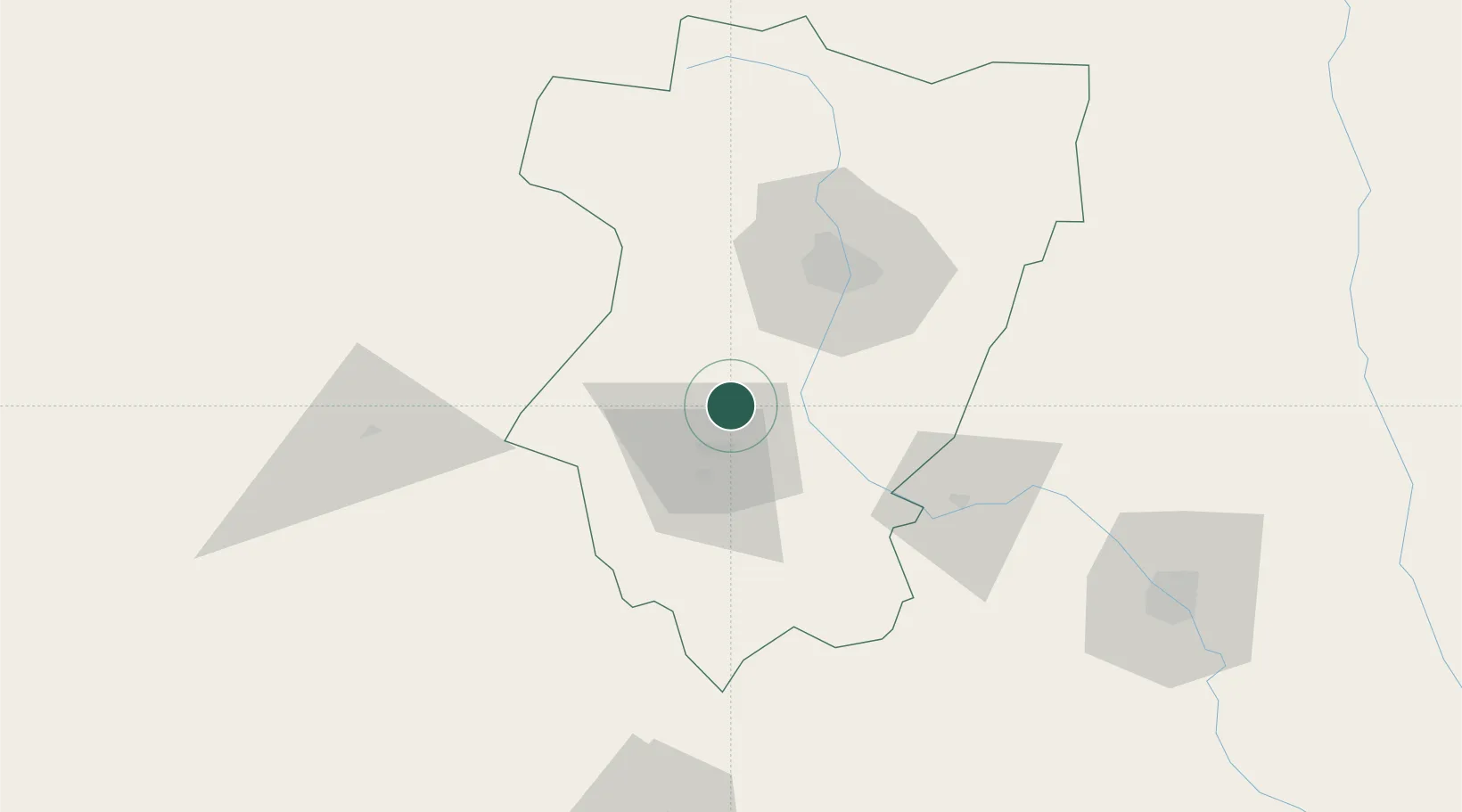
Location
Nearby Logistics Neighbours
Cities
- 1Conceptión14 km
- 2Güemes23 km
- 3San Miguel de Tucumán47 km
- 4Cevil Redondo54 km
- 5Tucumán54 km
Ports
- 1Puerto Chanaral517 km
- 2Puerto Caldera525 km
- 3Puerto Calderilla528 km
- 4Taltal533 km
- 5Huasco579 km
Airports
Trade Zones
DatabookThe Record of Consolidated Knowledge
Argentina beyond logistics?