Transport Functions
Port
Road
Hub Profile
Place type
Provincial seat
Region
Buenos Aires
Population
47,452
Time zone
America/Argentina/Buenos_Aires
Elevation
30 m
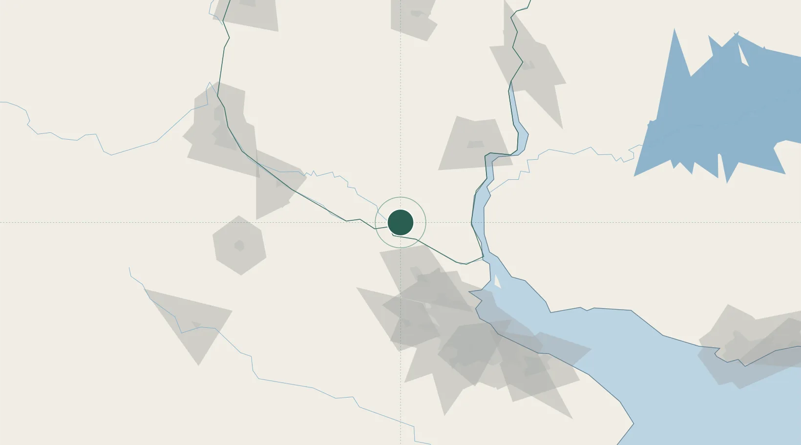
Location
Nearby Logistics Neighbours
Cities
- 1Ibicuy6 km
- 2Del Guazu37 km
- 3Las Palmas38 km
- 4Zárate45 km
- 5Ireneo Portela56 km
Ports
- 1Puerto Ibicuy8 km
- 2Zarate46 km
- 3Campana55 km
- 4Nueva Palmira73 km
- 5Ramallo82 km
Airports
- 1Gualeguaychu Airport91 km
- 2San Fernando Airport101 km
- 3El Palomar Airport115 km
- 4Aeroparque Jorge Newbery120 km
- 5(Duplicate)Aeropuerto Pergamino132 km
Trade Zones
- 1Nueva Palmira Free Zone73 km
- 2Zona Franca UPM105 km
- 3UPM Fray Bentos Free Zone105 km
- 4Montes de Plata Free Zone119 km
- 5Zona Sur Buenos Aires123 km
DatabookThe Record of Consolidated Knowledge
Argentina beyond logistics?