UN/LOCODE hub · Argentina
ARICA

Ireneo Portela

-33.9667°, -59.6667°
1
Transport functions

Transport Functions

Multimodal
UN/LOCODE

Hub Profile

Region
B
GeoNames

Location

Location of ARICA
Natural Earth 10m (public domain) · B · ARICA · -33.97, -59.67GoogleOSMYandex

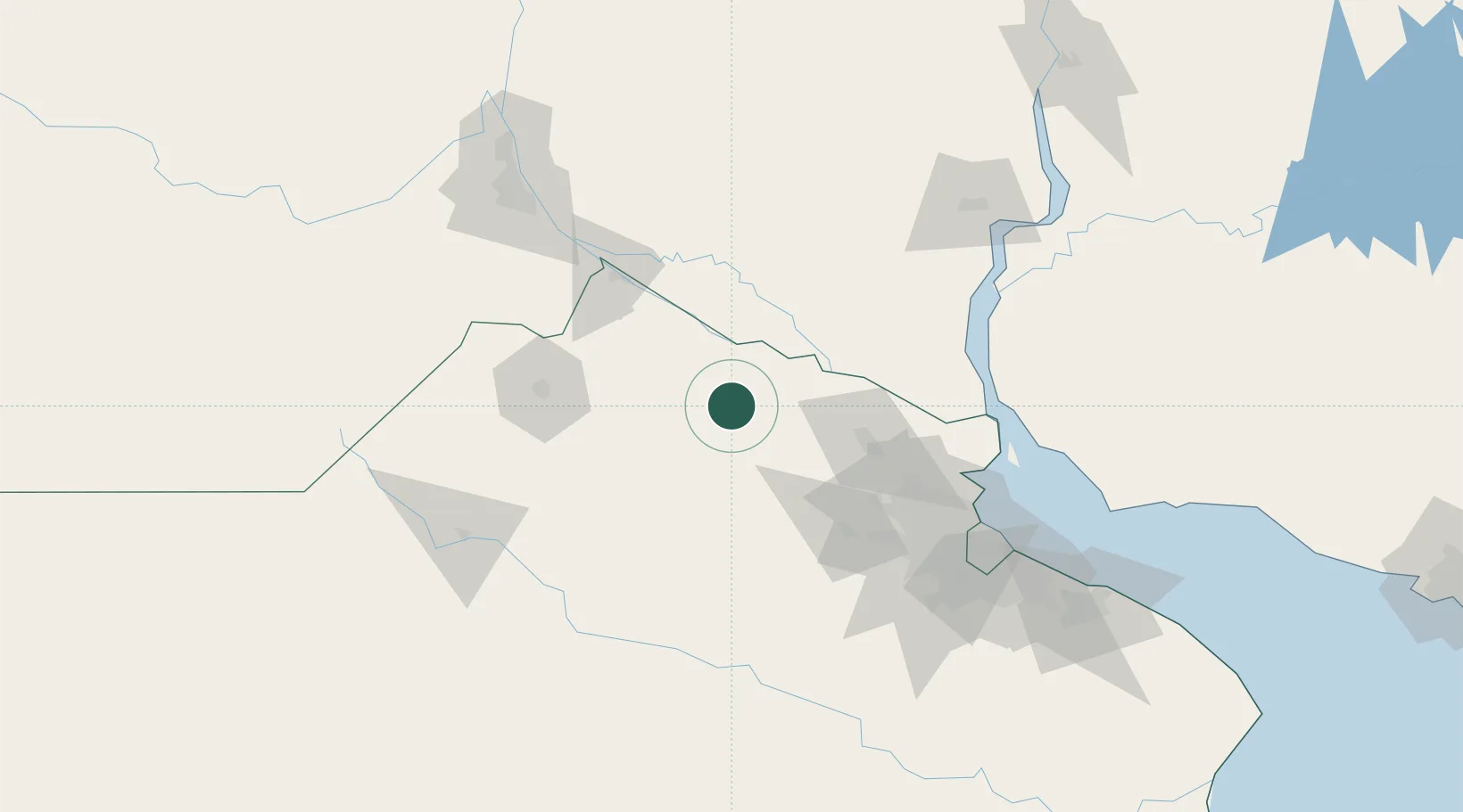
Nearby Logistics Neighbours

Cities
  1. 1San Antonio de Areco37 km
  2. 2Arrecifes44 km
  3. 3Las Palmas50 km
  4. 4Ibicuy53 km
  5. 5San Pedro56 km
Nearest neighbours — logibook spatial index (haversine) over the source coordinates
Ports
  1. 1San Pedro45 km
  2. 2Puerto Ibicuy51 km
  3. 3Zarate60 km
  4. 4Ramallo63 km
  5. 5Campana68 km
Nearest neighbours — logibook spatial index (haversine) over the source coordinates
Airports
  1. 1(Duplicate)Aeropuerto Pergamino84 km
  2. 2San Fernando Airport113 km
  3. 3El Palomar Airport120 km
  4. 4Aeroparque Jorge Newbery133 km
  5. 5Ezeiza International Airport - Ministro Pistarini141 km
Nearest neighbours — logibook spatial index (haversine) over the source coordinates
Trade Zones
  1. 1Nueva Palmira Free Zone116 km
  2. 2Zona Sur Buenos Aires131 km
  3. 3Montes de Plata Free Zone151 km
  4. 4Zona Franca UPM161 km
  5. 5UPM Fray Bentos Free Zone161 km
Nearest neighbours — logibook spatial index (haversine) over the source coordinates
DatabookThe Record of Consolidated Knowledge
Argentina beyond logistics?
Browse databook

All Sources

LocationsUN/LOCODE
UN/LOCODE — free
Portsthe NGA World Port Index
Public domain (US gov)
AirportsOurAirports
Public domain
Trade Zonesthe World Bank SEZ database
CC BY 4.0
Trade ZonesOpen Zone Map
CC BY
← Argentina locations