Transport Functions
Port
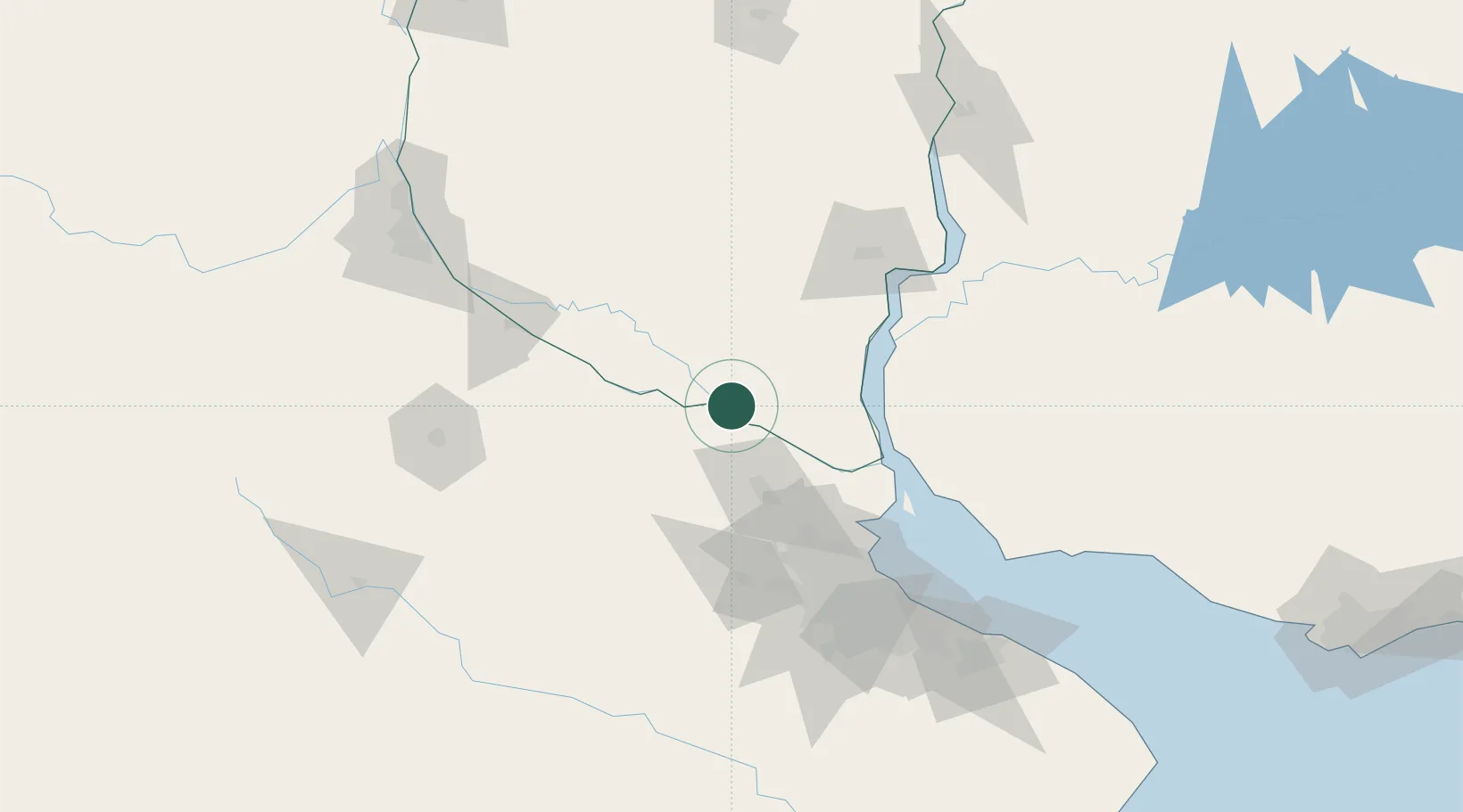
Hub Profile
Place type
Populated place
Region
Entre Rios
Time zone
America/Argentina/Cordoba
Elevation
6 m
Location
Nearby Logistics Neighbours
Cities
- 1San Pedro6 km
- 2Las Palmas33 km
- 3Del Guazu33 km
- 4Zárate40 km
- 5Campana51 km
Ports
- 1Zarate41 km
- 2Campana50 km
- 3San Pedro62 km
- 4Nueva Palmira71 km
- 5Ramallo84 km
Airports
- 1Gualeguaychu Airport96 km
- 2San Fernando Airport96 km
- 3El Palomar Airport110 km
- 4Aeroparque Jorge Newbery115 km
- 5(Duplicate)Aeropuerto Pergamino131 km
Trade Zones
- 1Nueva Palmira Free Zone71 km
- 2Zona Franca UPM108 km
- 3UPM Fray Bentos Free Zone109 km
- 4Montes de Plata Free Zone116 km
- 5Zona Sur Buenos Aires118 km
DatabookThe Record of Consolidated Knowledge
Argentina beyond logistics?