UN/LOCODE hub · Argentina
ARRGL
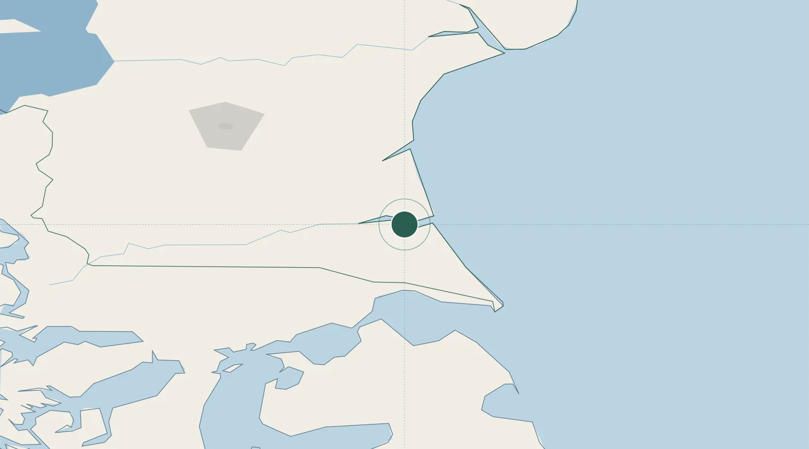
Río Gallegos
-51.6333°, -69.2167°
95,796
Population
2
Transport functions
Transport Functions
Port
Airport
Hub Profile
Place type
Regional capital
Region
Santa Cruz
Population
95,796
Time zone
America/Argentina/Rio_Gallegos
Elevation
1 m
Location
Nearby Logistics Neighbours
Cities
- 1Bahía San Gregorio126 km
- 2Rio Cullen148 km
- 3Caleta Clarencia151 km
- 4Puerto Percy158 km
- 5Bahia Laredo183 km
Ports
- 1Puerto Sara130 km
- 2Caleta Clarencia153 km
- 3San Sebastian Bay177 km
- 4Puerto Santa Cruz186 km
- 5Rada Punta Arenas205 km
Airports
DatabookThe Record of Consolidated Knowledge
Argentina beyond logistics?