Medium airport · Argentina

Santa Cruz AirportSAWU
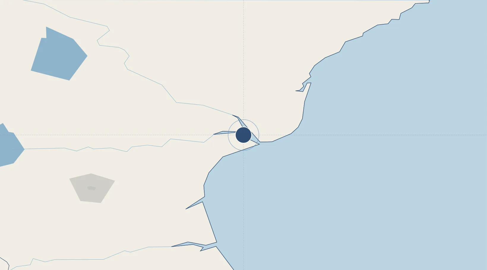
-50.0165°, -68.5792°
6,561 ft
Longest runway
1
Runways
364 ft
Elevation

Runway & Layout

Santa Cruz Airport runway & taxiway layout
Runway & taxiway layout — OpenStreetMap (ODbL) / OurAirports

Radio Frequencies

A/G
118.6 MHz
RDO
OurAirports

Navaids

SCZ NDB Santa Cruz 245 kHz
OurAirports

Runways · 1

RunwayDimensions SurfaceTrue headingLit
07/25 6,561 × 98ft Asphalt 078°
OurAirports

Airport Specifications

IATA code
RZA
OurAirports
ICAO code
SAWU
OurAirports
Airport class
Medium airport
OurAirports
Scheduled service
No
OurAirports
Runway surface
Asphalt
OurAirports
Served city
Puerto Santa Cruz
OurAirports

Location

Location of SAWU
Natural Earth 10m (public domain) · Santa Cruz · SAWU · -50.02, -68.58GoogleOSMYandex

Nearby Logistics Neighbours

Cities
  1. 1Santa Cruz12 km
  2. 2San Julian101 km
  3. 3Río Gallegos185 km
  4. 4Bahía San Gregorio309 km
  5. 5Rio Cullen311 km
Nearest neighbours — logibook spatial index (haversine) over the source coordinates
Ports
  1. 1Puerto Santa Cruz5 km
  2. 2Puerto San Julian100 km
  3. 3Puerto Gallegos180 km
  4. 4Puerto Sara312 km
  5. 5Puerto Deseado319 km
Nearest neighbours — logibook spatial index (haversine) over the source coordinates
Trade Zones
  1. 1La Zona Franca Santa Cruz (ZFSC) - Río Gallegos194 km
  2. 2Punta Arenas Free Trade Zone381 km
  3. 3La Zona Franca Santa Cruz (ZFSC) - Caleta Olivia402 km
  4. 4Comodoro Free Trade Zone463 km
  5. 5Comodoro Free Trade Zone Zona Franca Chubut468 km
Nearest neighbours — logibook spatial index (haversine) over the source coordinates
DatabookThe Record of Consolidated Knowledge
Argentina beyond logistics?
Browse databook

All Sources

AirportsOurAirports
Public domain
Portsthe NGA World Port Index
Public domain (US gov)
LocationsUN/LOCODE
UN/LOCODE — free
Trade Zonesthe World Bank SEZ database
CC BY 4.0
Trade ZonesOpen Zone Map
CC BY
InfrastructureOpenStreetMap
ODbL 1.0
← Argentina airports