Transport Functions
Multimodal
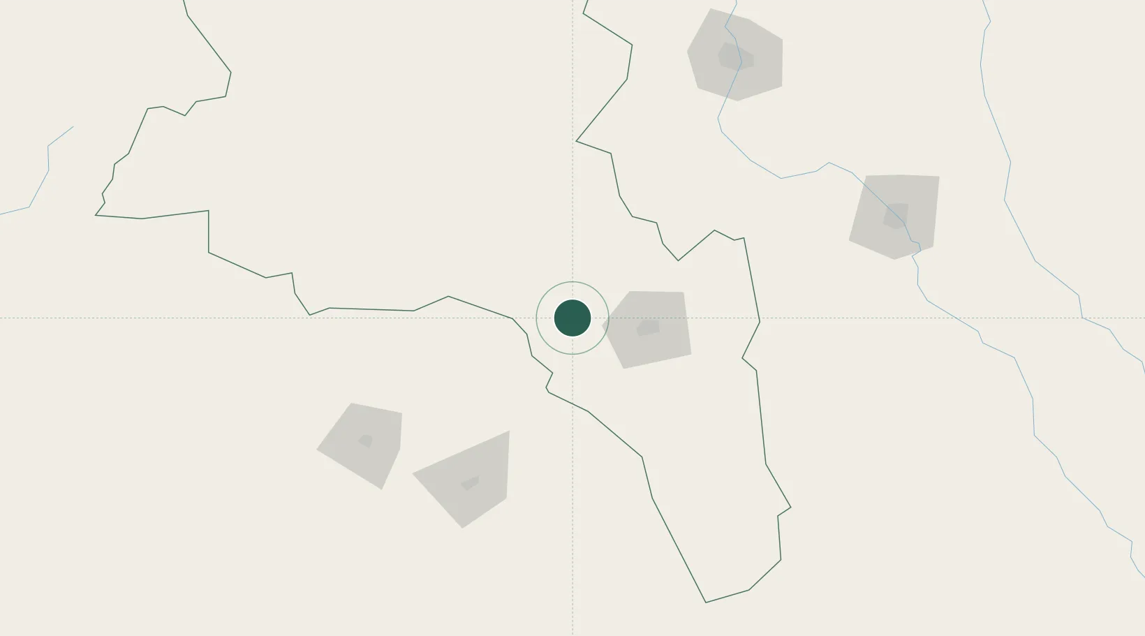
Hub Profile
Place type
Populated place
Region
Catamarca
Population
3,387
Time zone
America/Argentina/Catamarca
Elevation
1,138 m
Location
Nearby Logistics Neighbours
Cities
- 1San Fernando del Valle de Catamarca45 km
- 2Andalgalá90 km
- 3Lavalle108 km
- 4Conceptión134 km
- 5León Rouges148 km
Ports
- 1Puerto Caldera479 km
- 2Puerto Calderilla480 km
- 3Huasco492 km
- 4Puerto Chanaral494 km
- 5Coquimbo526 km
Airports
Trade Zones
- 1Zona Franca Tucuman Free Trade Zone199 km
- 2Córdoba Free Trade Zone376 km
- 3Zona Franca de Salta427 km
- 4Zona Franca Mendoza Free Trade Zone582 km
- 5Zona Franca de San Luis612 km
DatabookThe Record of Consolidated Knowledge
Argentina beyond logistics?