Transport Functions
Port
Multimodal
Hub Profile
Place type
Populated place
Region
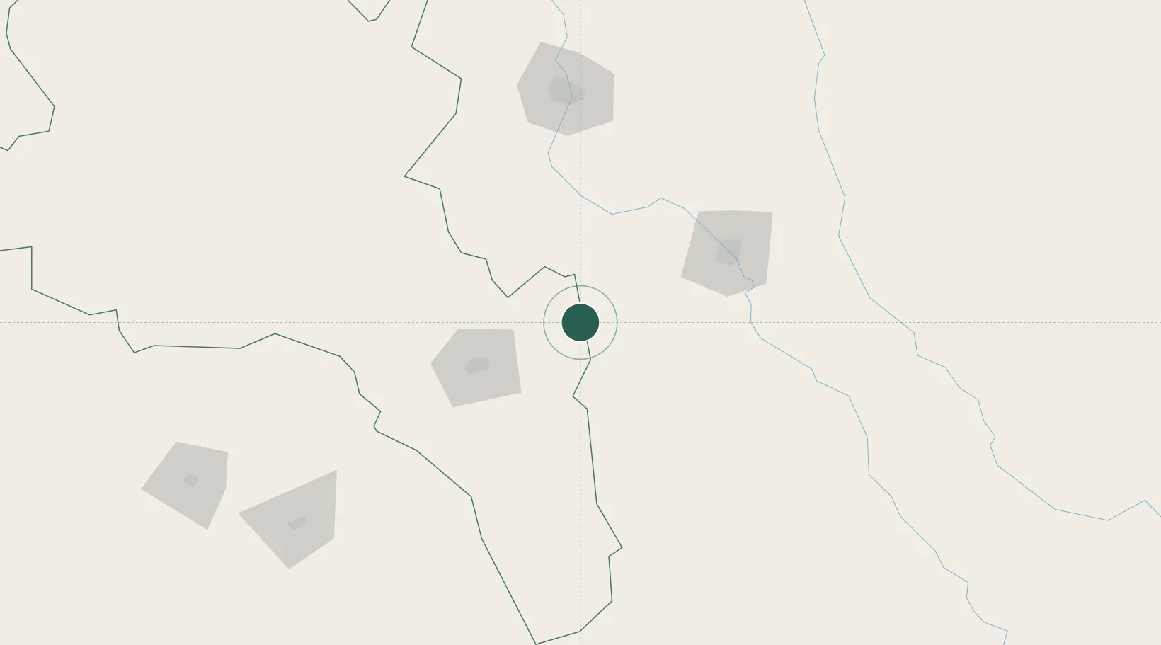
Santiago del Estero
Time zone
America/Argentina/Cordoba
Elevation
454 m
Location
Nearby Logistics Neighbours
Cities
- 1San Fernando del Valle de Catamarca69 km
- 2Güemes100 km
- 3Conceptión106 km
- 4Poman108 km
- 5León Rouges116 km
Ports
- 1Santa Fe574 km
- 2Puerto Caldera576 km
- 3Puerto Calderilla578 km
- 4Puerto Chanaral583 km
- 5Parana591 km
Airports
Trade Zones
- 1Zona Franca Tucuman Free Trade Zone148 km
- 2Córdoba Free Trade Zone355 km
- 3Zona Franca de Salta388 km
- 4Zona Franca de San Luis626 km
- 5Justo Daract Free Trade Zone627 km
DatabookThe Record of Consolidated Knowledge
Argentina beyond logistics?