Seaport · Chile
CoquimboCLCQQ
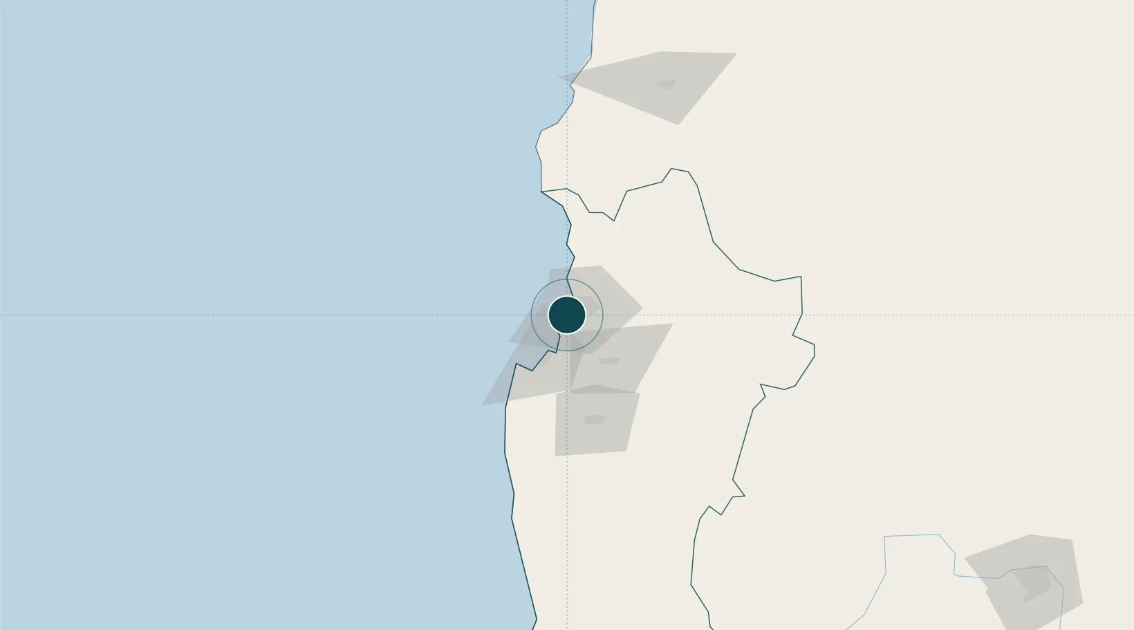
-29.9500°, -71.3333°
21.6 m
Channel depth
1
Container terminals
29.8
Port liner connectivity
Channel & Berth Profile
Pilotage, Tugs & Services
Pilotage compulsoryYES
Pilotage availableYES
Tug assistanceYES
Salvage tugsNO
Shore powerYES
Potable waterYES
Diesel bunkersYES
MedicalYES
Garbage disposalYES
Facilities & Capabilities
Container—
Ro-Ro—
Liquid bulk—
Dry bulk—
Oil terminal—
Break bulk—
Dry dock—
RepairsNO
BunkeringYES
Rail linkYES
Dangerous cargo—
ISPS security—
Harbour Specifications
Harbour size
Very Small
Harbour type
Coastal (Natural)
Shelter
Good
Water body
South Pacific Ocean
Tidal range
3 m
Overhead limit
No
Pilotage
Yes
Liner Connectivity
29.8
PLSCI
Port Liner Shipping Connectivity Index for Coquimbo, as published by UNCTAD for the latest available quarter. Higher values indicate stronger scheduled liner-shipping integration.
Shown relative to the highest per-port PLSCI in the dataset (1,657.9).
Location
Container Terminals · 1
TERMINAL PUERTO COQUIMBO
TPC EMPRESA PORTUARIA COQUIMBO
Nearby Logistics Neighbours
Ports
- 1Bahia Herradura Guayacan4 km
- 2Huasco165 km
- 3Bahia Quintero (Ventanas)314 km
- 4Puerto Calderilla322 km
- 5Puerto Caldera326 km
Cities
- 1Guayacán5 km
- 2La Serena12 km
- 3Tongoy36 km
- 4Cruz Grande56 km
- 5Vicuña61 km
Airports
- 1La Florida Airport13 km
- 2Vallenar Airport161 km
- 3Desierto de Atacama Airport304 km
- 4Domingo Faustino Sarmiento Airport332 km
- 5Viña del Mar Airport334 km
Trade Zones
DatabookThe Record of Consolidated Knowledge
Chile beyond logistics?