Medium airport · Argentina

Capitan V A Almonacid AirportSANL
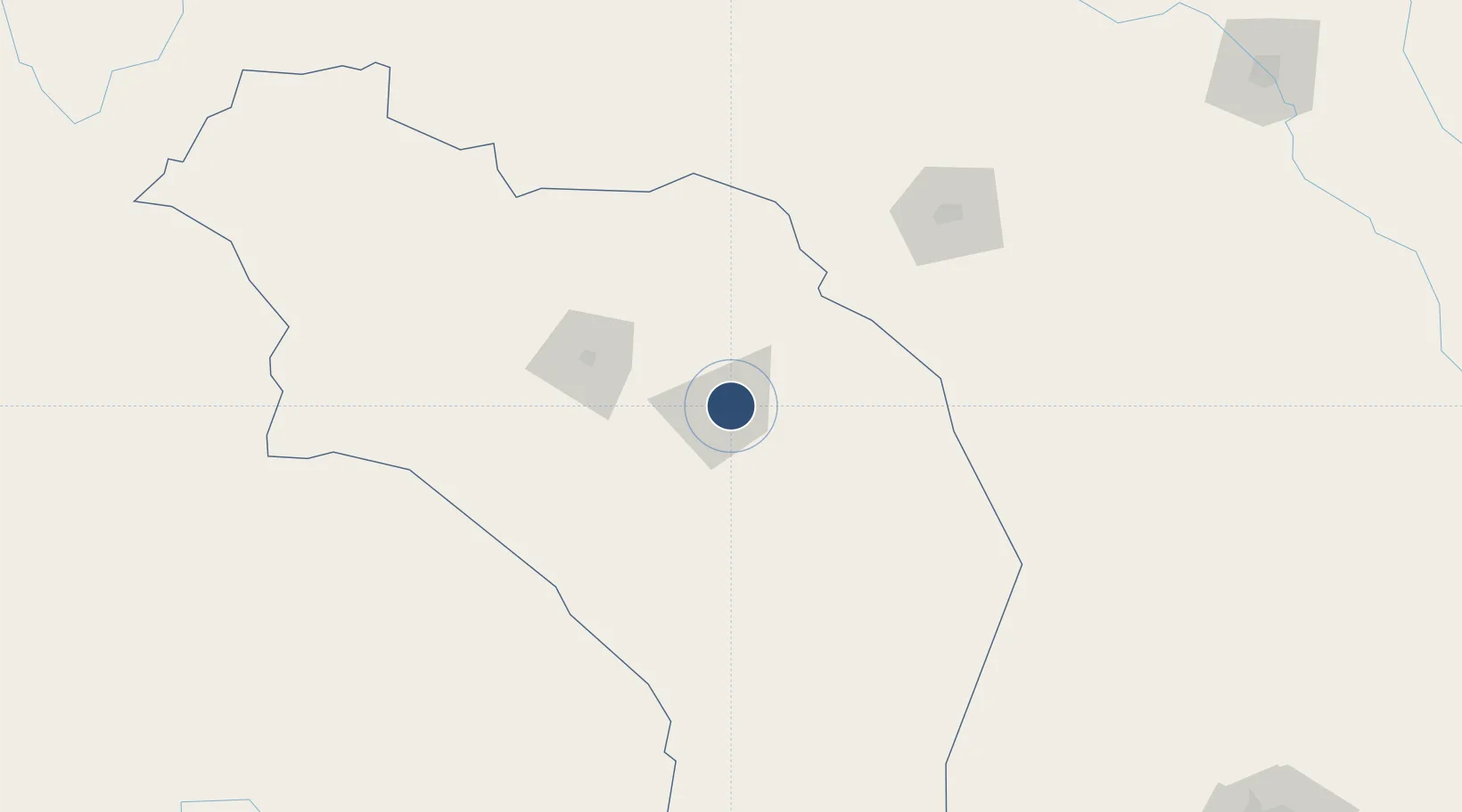
-29.3816°, -66.7958°
9,383 ft
Longest runway
1
Runways
1,437 ft
Elevation

Runway & Layout

Capitan V A Almonacid Airport runway & taxiway layout
Runway & taxiway layout — OpenStreetMap (ODbL) / OurAirports

Radio Frequencies

APP
118.45 MHz
APP/TWR
OurAirports

Navaids

LAR VOR La Rioja 113.50 MHz
LAR NDB La Rioja 410 kHz
OurAirports

Runways · 1

RunwayDimensions SurfaceTrue headingLit
3/21 9,383 × 98ft Asphalt 028°
OurAirports

Airport Specifications

IATA code
IRJ
OurAirports
ICAO code
SANL
OurAirports
Airport class
Medium airport
OurAirports
Scheduled service
Yes
OurAirports
Runway surface
Asphalt
OurAirports
Served city
La Rioja
OurAirports

Location

Location of SANL
Natural Earth 10m (public domain) · La Rioja · SANL · -29.38, -66.80GoogleOSMYandex

Nearby Logistics Neighbours

Airports
  1. 1Coronel Felipe Varela International Airport134 km
  2. 2Termas de Río Hondo international Airport278 km
  3. 3Domingo Faustino Sarmiento Airport289 km
  4. 4Vicecomodoro Angel D. La Paz Aragonés Airport302 km
  5. 5Villa Dolores Airport326 km
Nearest neighbours — logibook spatial index (haversine) over the source coordinates
Cities
  1. 1Chilecito72 km
  2. 2Poman123 km
  3. 3San Fernando del Valle de Catamarca143 km
  4. 4Milagro198 km
  5. 5Andalgalá204 km
Nearest neighbours — logibook spatial index (haversine) over the source coordinates
Ports
  1. 1Coquimbo443 km
  2. 2Huasco445 km
  3. 3Bahia Herradura Guayacan446 km
  4. 4Puerto Caldera473 km
  5. 5Puerto Calderilla474 km
Nearest neighbours — logibook spatial index (haversine) over the source coordinates
Trade Zones
  1. 1Zona Franca Tucuman Free Trade Zone322 km
  2. 2Córdoba Free Trade Zone329 km
  3. 3Zona Franca Mendoza Free Trade Zone459 km
  4. 4Zona Franca de San Luis518 km
  5. 5Justo Daract Free Trade Zone518 km
Nearest neighbours — logibook spatial index (haversine) over the source coordinates
DatabookThe Record of Consolidated Knowledge
Argentina beyond logistics?
Browse databook

All Sources

AirportsOurAirports
Public domain
Portsthe NGA World Port Index
Public domain (US gov)
LocationsUN/LOCODE
UN/LOCODE — free
Trade Zonesthe World Bank SEZ database
CC BY 4.0
Trade ZonesOpen Zone Map
CC BY
InfrastructureOpenStreetMap
ODbL 1.0
← Argentina airports