Transport Functions
Rail
Road
Hub Profile
Place type
Provincial seat
Region
Catamarca
Population
14,068
Time zone
America/Argentina/Catamarca
Elevation
1,080 m
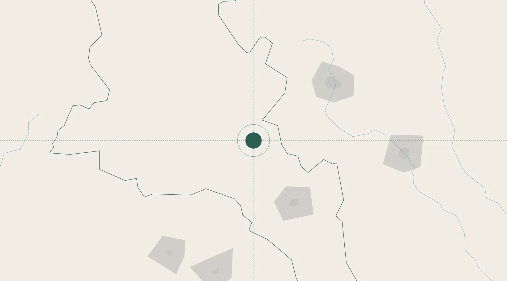
Location
Nearby Logistics Neighbours
Cities
- 1Conceptión78 km
- 2León Rouges88 km
- 3Poman90 km
- 4Güemes102 km
- 5San Fernando del Valle de Catamarca111 km
Ports
- 1Puerto Caldera450 km
- 2Puerto Chanaral451 km
- 3Puerto Calderilla453 km
- 4Taltal481 km
- 5Huasco494 km
Airports
Trade Zones
- 1Zona Franca Tucuman Free Trade Zone140 km
- 2Zona Franca de Salta346 km
- 3Córdoba Free Trade Zone459 km
- 4Zona Franca Mendoza Free Trade Zone659 km
- 5Zona Franca de San Luis702 km
DatabookThe Record of Consolidated Knowledge
Argentina beyond logistics?