UN/LOCODE hub · Argentina
ARLUJ

Luján

-34.5667°, -59.1000°
97,363
Population
3
Transport functions

Transport Functions

Port
Rail
Road
UN/LOCODE

Hub Profile

Place type
Provincial seat
GeoNames
Region
Buenos Aires
GeoNames
Population
97,363
GeoNames
Time zone
America/Argentina/Buenos_Aires
GeoNames
Elevation
17 m
GeoNames

Location

Location of ARLUJ
Natural Earth 10m (public domain) · Buenos Aires · ARLUJ · -34.57, -59.10GoogleOSMYandex

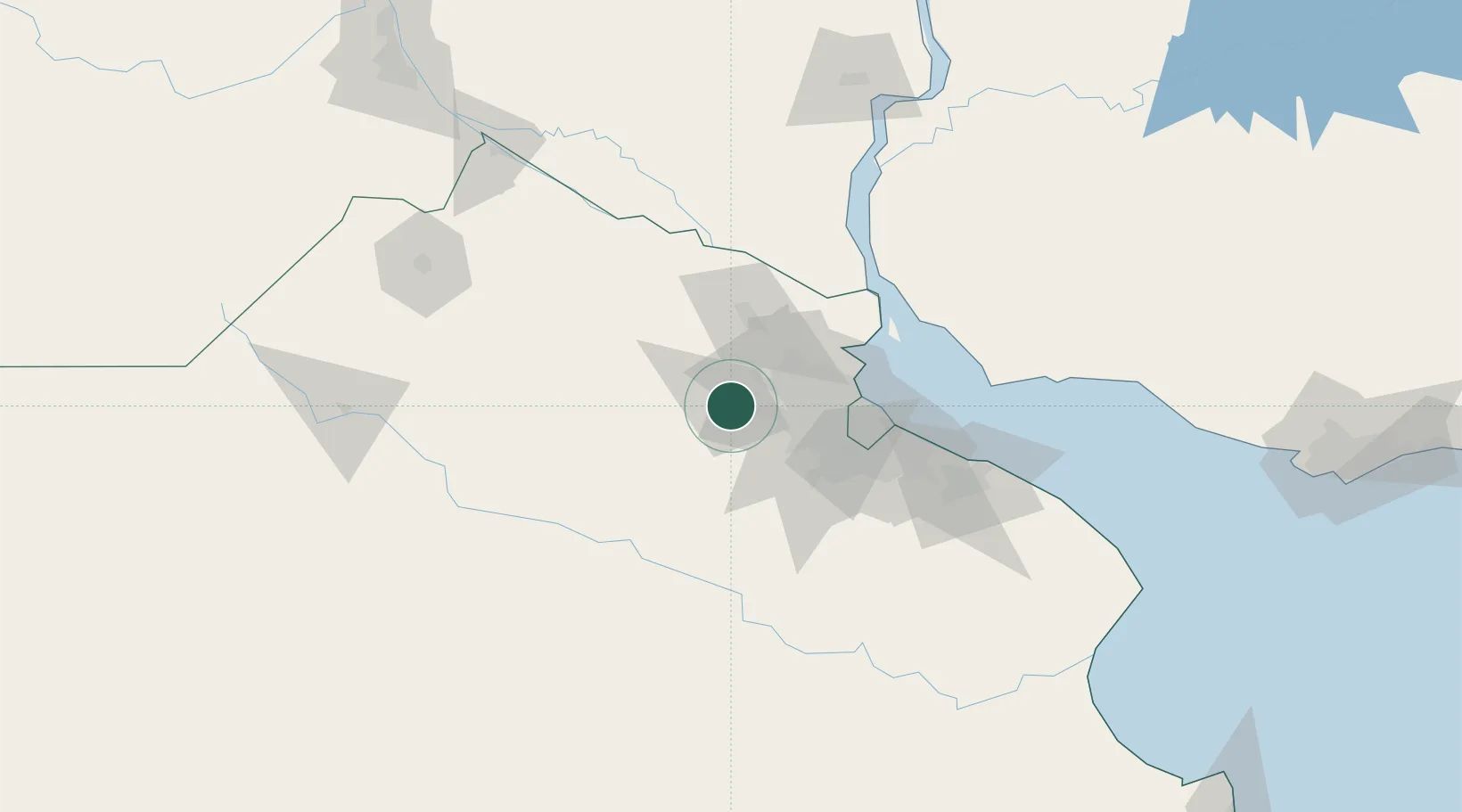
Nearby Logistics Neighbours

Cities
  1. 1Pilar24 km
  2. 2Capilla del Señor30 km
  3. 3José C. Paz33 km
  4. 4San Andrés de Giles33 km
  5. 5Belén de Escobar37 km
Nearest neighbours — logibook spatial index (haversine) over the source coordinates
Ports
  1. 1Campana48 km
  2. 2Zarate54 km
  3. 3Buenos Aires67 km
  4. 4Puerto Ibicuy91 km
  5. 5Nueva Palmira99 km
Nearest neighbours — logibook spatial index (haversine) over the source coordinates
Airports
  1. 1El Palomar Airport45 km
  2. 2San Fernando Airport48 km
  3. 3Ezeiza International Airport - Ministro Pistarini59 km
  4. 4Aeroparque Jorge Newbery63 km
  5. 5La Plata Airport119 km
Nearest neighbours — logibook spatial index (haversine) over the source coordinates
Trade Zones
  1. 1Zona Sur Buenos Aires55 km
  2. 2Nueva Palmira Free Zone98 km
  3. 3Montes de Plata Free Zone103 km
  4. 4La Plata Free Trade Zone114 km
  5. 5Colonia Free Zone117 km
Nearest neighbours — logibook spatial index (haversine) over the source coordinates
DatabookThe Record of Consolidated Knowledge
Argentina beyond logistics?
Browse databook

All Sources

LocationsUN/LOCODE
UN/LOCODE — free
LocationsGeoNames
CC BY 4.0
Portsthe NGA World Port Index
Public domain (US gov)
AirportsOurAirports
Public domain
Trade Zonesthe World Bank SEZ database
CC BY 4.0
Trade ZonesOpen Zone Map
CC BY
← Argentina locations