UN/LOCODE hub · Argentina
ARJPZ

José C. Paz

-34.5000°, -58.7500°
230,208
Population
1
Transport functions

Transport Functions

Multimodal
UN/LOCODE

Hub Profile

Place type
Provincial seat
GeoNames
Region
Buenos Aires
GeoNames
Population
230,208
GeoNames
Time zone
America/Argentina/Buenos_Aires
GeoNames
Elevation
32 m
GeoNames

Location

Location of ARJPZ
Natural Earth 10m (public domain) · Buenos Aires · ARJPZ · -34.50, -58.75GoogleOSMYandex

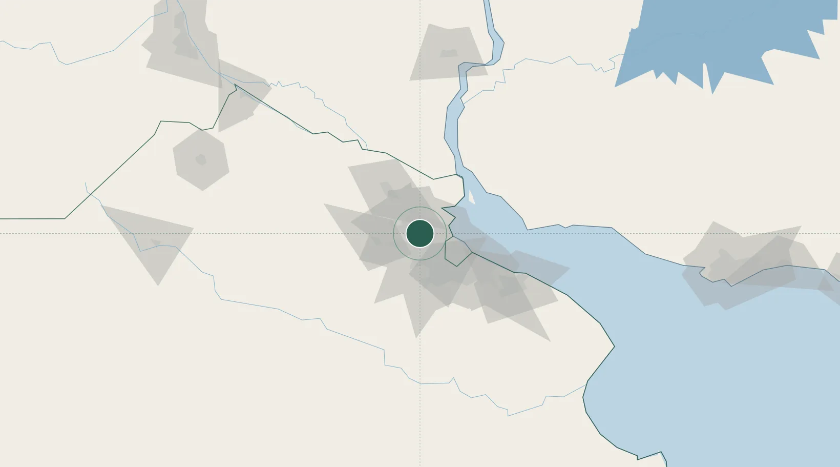
Nearby Logistics Neighbours

Cities
  1. 1Pilar16 km
  2. 2Tigre18 km
  3. 3Villa Bosch19 km
  4. 4Belén de Escobar20 km
  5. 5Victoria21 km
Nearest neighbours — logibook spatial index (haversine) over the source coordinates
Ports
  1. 1Buenos Aires37 km
  2. 2Campana44 km
  3. 3Zarate53 km
  4. 4Nueva Palmira75 km
  5. 5Colonia83 km
Nearest neighbours — logibook spatial index (haversine) over the source coordinates
Airports
  1. 1San Fernando Airport16 km
  2. 2El Palomar Airport18 km
  3. 3Aeroparque Jorge Newbery31 km
  4. 4Ezeiza International Airport - Ministro Pistarini41 km
  5. 5La Plata Airport94 km
Nearest neighbours — logibook spatial index (haversine) over the source coordinates
Trade Zones
  1. 1Zona Sur Buenos Aires28 km
  2. 2Montes de Plata Free Zone71 km
  3. 3Nueva Palmira Free Zone75 km
  4. 4Colonia Free Zone84 km
  5. 5La Plata Free Trade Zone87 km
Nearest neighbours — logibook spatial index (haversine) over the source coordinates
DatabookThe Record of Consolidated Knowledge
Argentina beyond logistics?
Browse databook

All Sources

LocationsUN/LOCODE
UN/LOCODE — free
LocationsGeoNames
CC BY 4.0
Portsthe NGA World Port Index
Public domain (US gov)
AirportsOurAirports
Public domain
Trade Zonesthe World Bank SEZ database
CC BY 4.0
Trade ZonesOpen Zone Map
CC BY
← Argentina locations