Medium airport · Argentina

La Plata AirportSADL
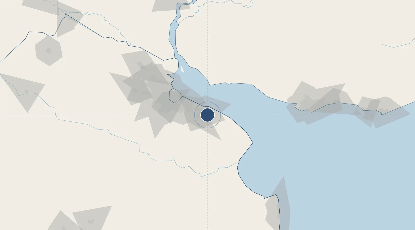
-34.9722°, -57.8947°
4,682 ft
Longest runway
1
Runways
72 ft
Elevation

Runway & Layout

La Plata Airport runway & taxiway layout
Runway & taxiway layout — OpenStreetMap (ODbL) / OurAirports

Radio Frequencies

TWR
119.3 MHz
La Plata Aeradio
OurAirports

Navaids

PTA VOR La Plata 113.70 MHz
PTA NDB La Plata 250 kHz
OurAirports

Runways · 1

RunwayDimensions SurfaceTrue headingLit
2/20 4,682 × 148ft Asphalt 014°
OurAirports

Airport Specifications

IATA code
LPG
OurAirports
ICAO code
SADL
OurAirports
Airport class
Medium airport
OurAirports
Scheduled service
No
OurAirports
Runway surface
Asphalt
OurAirports
Served city
La Plata
OurAirports

Location

Location of SADL
Natural Earth 10m (public domain) · Buenos Aires · SADL · -34.97, -57.89GoogleOSMYandex

Nearby Logistics Neighbours

Airports
  1. 1Ezeiza International Airport - Ministro Pistarini61 km
  2. 2Aeroparque Jorge Newbery66 km
  3. 3El Palomar Airport77 km
  4. 4San Fernando Airport86 km
  5. 5Ángel S. Adami International Airport150 km
Nearest neighbours — logibook spatial index (haversine) over the source coordinates
Cities
  1. 1Ringuelet13 km
  2. 2La Plata13 km
  3. 3Puerto Ingeniero M. Rocca14 km
  4. 4Brandsen38 km
  5. 5Quilmes44 km
Nearest neighbours — logibook spatial index (haversine) over the source coordinates
Ports
  1. 1La Plata16 km
  2. 2Colonia56 km
  3. 3Buenos Aires60 km
  4. 4Puerto Sauce72 km
  5. 5Nueva Palmira130 km
Nearest neighbours — logibook spatial index (haversine) over the source coordinates
Trade Zones
  1. 1La Plata Free Trade Zone14 km
  2. 2Colonia Free Zone56 km
  3. 3Zona Sur Buenos Aires67 km
  4. 4Montes de Plata Free Zone84 km
  5. 5Colonia Suiza Free Zone94 km
Nearest neighbours — logibook spatial index (haversine) over the source coordinates
DatabookThe Record of Consolidated Knowledge
Argentina beyond logistics?
Browse databook

All Sources

AirportsOurAirports
Public domain
Portsthe NGA World Port Index
Public domain (US gov)
LocationsUN/LOCODE
UN/LOCODE — free
Trade Zonesthe World Bank SEZ database
CC BY 4.0
Trade ZonesOpen Zone Map
CC BY
InfrastructureOpenStreetMap
ODbL 1.0
← Argentina airports