Transport Functions
Rail
Road
Hub Profile
Place type
Provincial seat
Region
Buenos Aires
Time zone
America/Argentina/Buenos_Aires
Elevation
51 m
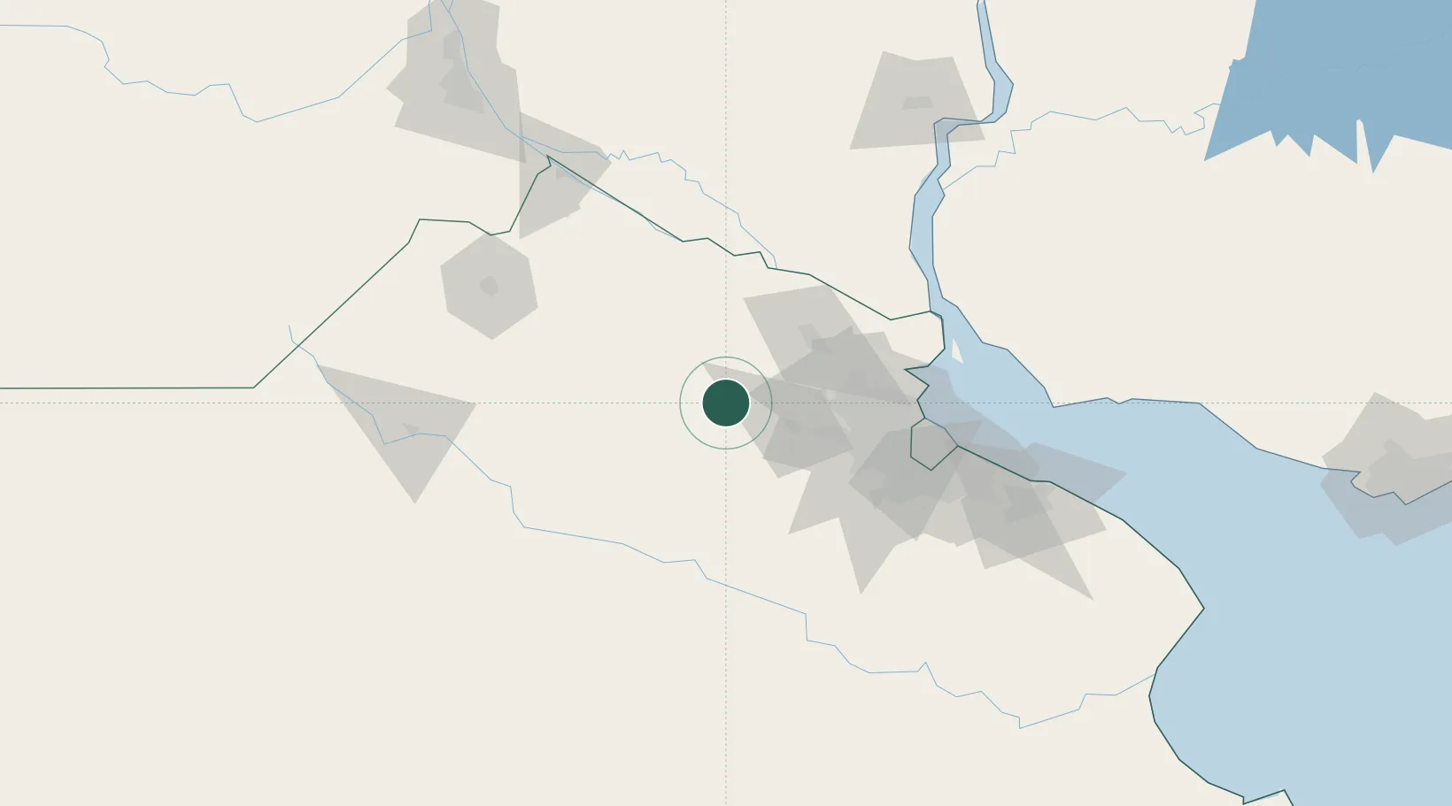
Location
Nearby Logistics Neighbours
Cities
- 1San Antonio de Areco22 km
- 2Luján33 km
- 3Capilla del Señor35 km
- 4Pilar49 km
- 5Campana51 km
Ports
- 1Campana54 km
- 2Zarate55 km
- 3Puerto Ibicuy81 km
- 4Buenos Aires99 km
- 5San Pedro103 km
Airports
Trade Zones
- 1Zona Sur Buenos Aires88 km
- 2Nueva Palmira Free Zone113 km
- 3Montes de Plata Free Zone129 km
- 4La Plata Free Trade Zone147 km
- 5Colonia Free Zone147 km
DatabookThe Record of Consolidated Knowledge
Argentina beyond logistics?