Transport Functions
Rail
Road
Postal
Hub Profile
Place type
Provincial seat
Region
Jujuy
Population
14,751
Time zone
America/Argentina/Jujuy
Elevation
3,408 m
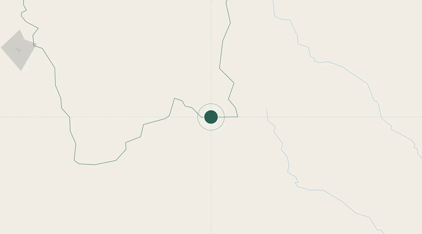
Location
Nearby Logistics Neighbours
Cities
- 1Villazón4 km
- 2General Enrique Mosconi193 km
- 3Yacuiba199 km
- 4San Salvador de Jujuy234 km
- 5Palpala243 km
Ports
- 1Tocopilla476 km
- 2Caleta Patillos498 km
- 3Mejillones510 km
- 4Iquique517 km
- 5Antofagasta521 km
Airports
- 1Capitan Oriel Lea Plaza Airport112 km
- 2Bermejo Airport154 km
- 3Orán Airport177 km
- 4General Enrique Mosconi Airport196 km
- 5Yacuiba Airport203 km
Trade Zones
- 1Zona Franca de Salta296 km
- 2Oruro Commercial and Industrial Free Zone477 km
- 3Zona Franca Oruro485 km
- 4Iquique Free Trade Zone514 km
- 5Zona Franca Tucuman Free Trade Zone532 km
DatabookThe Record of Consolidated Knowledge
Argentina beyond logistics?