Transport Functions
Multimodal
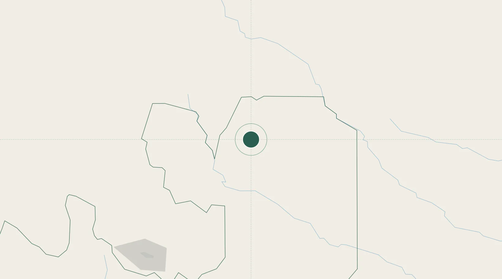
Hub Profile
Region
A
Location
Nearby Logistics Neighbours
Cities
- 1Yacuiba65 km
- 2Hickmann72 km
- 3Villazón191 km
- 4La Quiaca193 km
- 5Apolinario Saravia203 km
Ports
- 1Tocopilla662 km
- 2Mejillones684 km
- 3Antofagasta685 km
- 4Puerto De Asuncion690 km
- 5Caleta Patillos691 km
Airports
- 1General Enrique Mosconi Airport3 km
- 2Bermejo Airport54 km
- 3Yacuiba Airport73 km
- 4Orán Airport81 km
- 5Capitan Oriel Lea Plaza Airport148 km
Trade Zones
DatabookThe Record of Consolidated Knowledge
Argentina beyond logistics?