Transport Functions
Rail
Road
Hub Profile
Place type
Populated place
Region
Potosí Department
Population
30,253
Time zone
America/La_Paz
Elevation
3,455 m
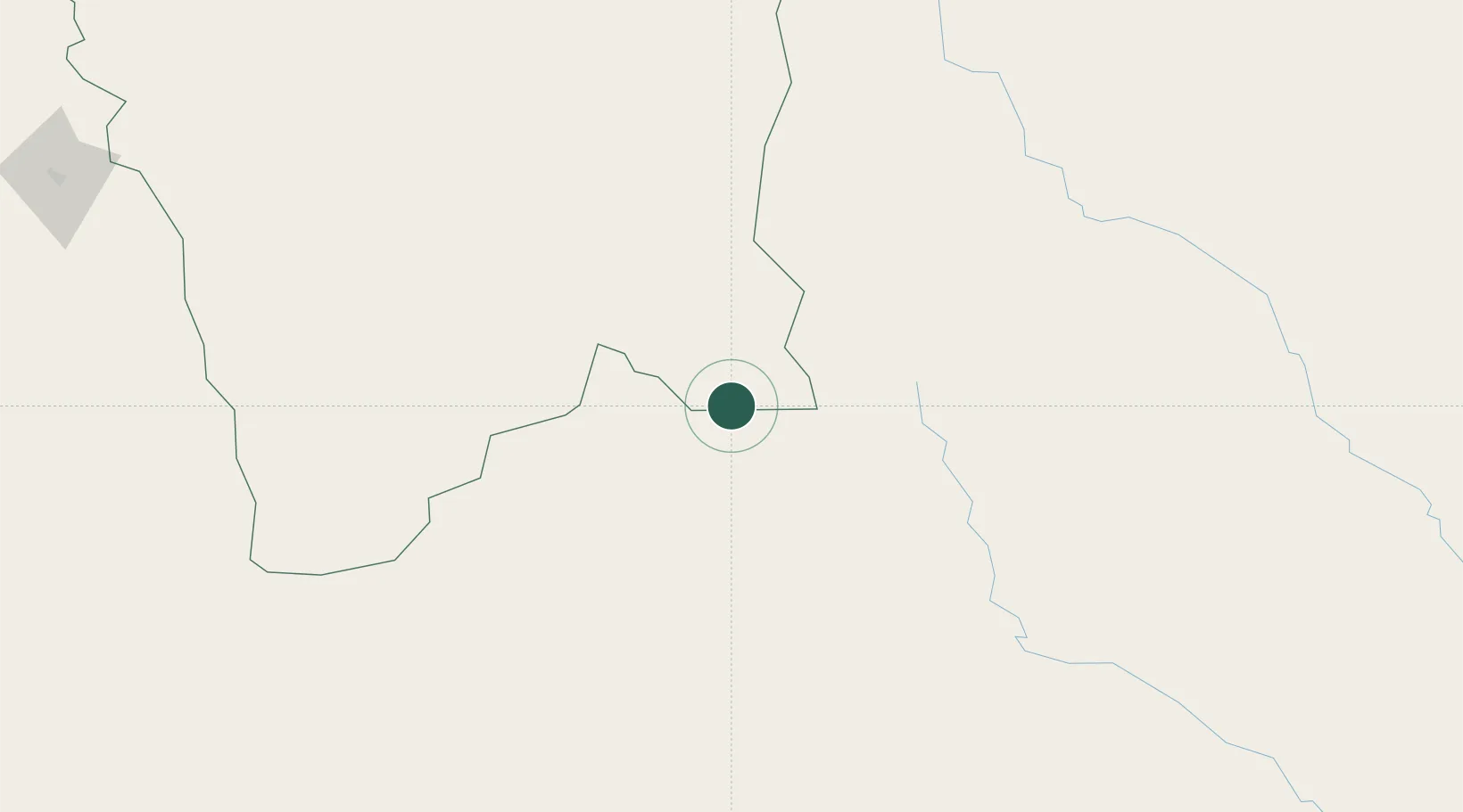
Location
Nearby Logistics Neighbours
Cities
- 1La Quiaca4 km
- 2General Enrique Mosconi191 km
- 3Yacuiba196 km
- 4San Salvador de Jujuy235 km
- 5Hickmann241 km
Ports
- 1Tocopilla479 km
- 2Caleta Patillos501 km
- 3Mejillones514 km
- 4Iquique519 km
- 5Antofagasta525 km
Airports
- 1Capitan Oriel Lea Plaza Airport108 km
- 2Bermejo Airport151 km
- 3Orán Airport175 km
- 4General Enrique Mosconi Airport193 km
- 5Yacuiba Airport200 km
Trade Zones
- 1Zona Franca de Salta297 km
- 2Oruro Commercial and Industrial Free Zone476 km
- 3Zona Franca Oruro485 km
- 4Iquique Free Trade Zone516 km
- 5Zona Franca Tucuman Free Trade Zone534 km
DatabookThe Record of Consolidated Knowledge
Bolivia beyond logistics?