Medium airport · Bolivia
Yacuiba AirportSLYA
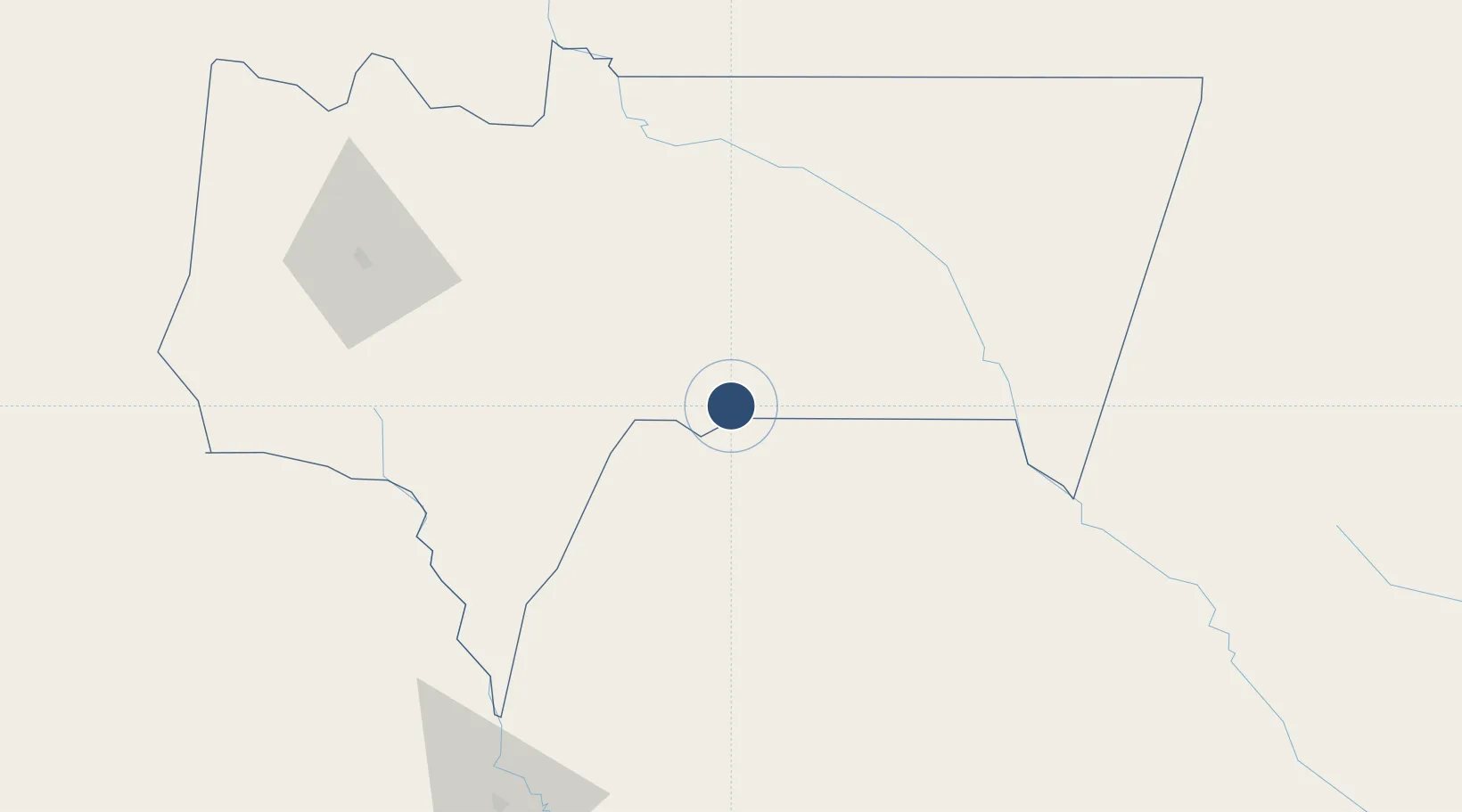
-21.9609°, -63.6517°
6,890 ft
Longest runway
1
Runways
2,112 ft
Elevation
Runway & Layout

Radio Frequencies
TWR
118.3 MHz
RDO
662.2 MHz
Navaids
YAC NDB Yacuiba 385 kHz
Runways · 1
| Runway | Dimensions | Surface | True heading | Lit |
|---|---|---|---|---|
| 02/20 | 6,890 × 118ft | Asphalt | 020° | — |
Airport Specifications
IATA code
BYC
ICAO code
SLYA
Airport class
Medium airport
Scheduled service
No
Runway surface
Asphalt
Served city
Yacuíba
Location
Nearby Logistics Neighbours
Airports
Cities
- 1Yacuiba9 km
- 2General Enrique Mosconi73 km
- 3Hickmann138 km
- 4Villazón200 km
- 5La Quiaca203 km
Ports
- 1Tocopilla679 km
- 2Caleta Patillos692 km
- 3Iquique704 km
- 4Puerto De Asuncion710 km
- 5Mejillones711 km
Trade Zones
DatabookThe Record of Consolidated Knowledge
Bolivia beyond logistics?