Transport Functions
Rail
Road
Airport
Hub Profile
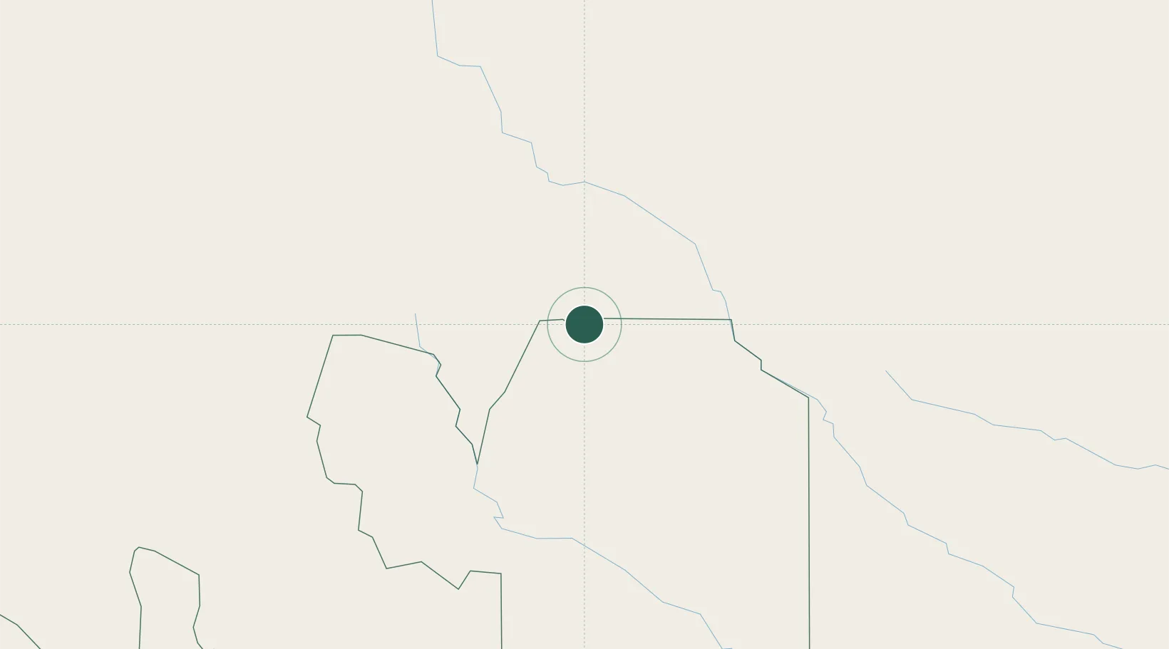
Place type
Provincial seat
Region
Tarija Department
Population
82,803
Time zone
America/La_Paz
Elevation
629 m
Location
Nearby Logistics Neighbours
Cities
- 1General Enrique Mosconi65 km
- 2Hickmann130 km
- 3Villazón196 km
- 4La Quiaca199 km
- 5Apolinario Saravia267 km
Ports
- 1Tocopilla675 km
- 2Caleta Patillos690 km
- 3Iquique703 km
- 4Mejillones707 km
- 5Puerto De Asuncion709 km
Airports
Trade Zones
DatabookThe Record of Consolidated Knowledge
Bolivia beyond logistics?