Medium airport · Bolivia

Capitan Oriel Lea Plaza AirportSLTJ
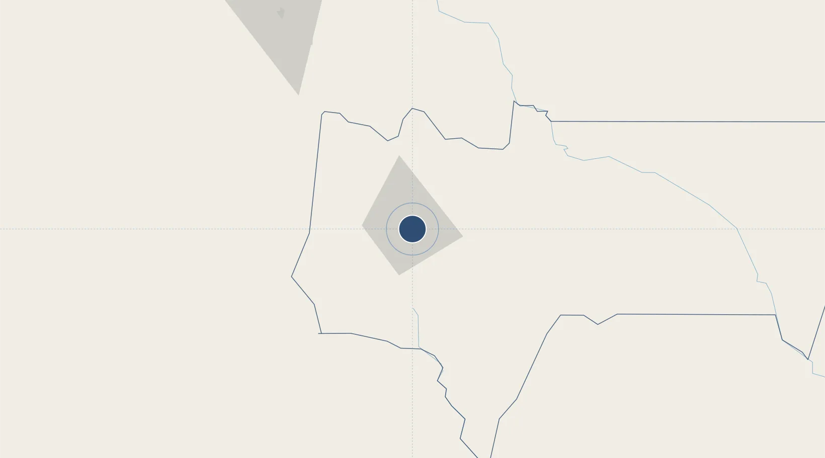
-21.5557°, -64.7013°
10,007 ft
Longest runway
1
Runways
6,079 ft
Elevation

Runway & Layout

Capitan Oriel Lea Plaza Airport runway & taxiway layout
Runway & taxiway layout — OpenStreetMap (ODbL) / OurAirports

Radio Frequencies

TWR
118.1 MHz
TARIJA TWR
APP
119.4 MHz
TARIJA APP
RDO
662.2 MHz
TARIJA RDO
OurAirports

Navaids

TAR VOR-DME Tarija 117.00 MHz
TJA NDB Tarija 250 kHz
OurAirports

Runways · 1

RunwayDimensions SurfaceTrue headingLit
13/31 10,007 × 148ft Asphalt 124°
OurAirports

Airport Specifications

IATA code
TJA
OurAirports
ICAO code
SLTJ
OurAirports
Airport class
Medium airport
OurAirports
Scheduled service
Yes
OurAirports
Runway surface
Asphalt
OurAirports
Served city
Tarija
OurAirports

Location

Location of SLTJ
Natural Earth 10m (public domain) · Tarija · SLTJ · -21.56, -64.70GoogleOSMYandex

Nearby Logistics Neighbours

Airports
  1. 1Yacuiba Airport117 km
  2. 2Teniente Coronel Rafael Pabón Airport138 km
  3. 3Bermejo Airport141 km
  4. 4General Enrique Mosconi Airport151 km
  5. 5Orán Airport182 km
Nearest neighbours — logibook spatial index (haversine) over the source coordinates
Cities
  1. 1Villazón108 km
  2. 2La Quiaca112 km
  3. 3Yacuiba118 km
  4. 4General Enrique Mosconi148 km
  5. 5Hickmann217 km
Nearest neighbours — logibook spatial index (haversine) over the source coordinates
Ports
  1. 1Tocopilla574 km
  2. 2Caleta Patillos578 km
  3. 3Iquique587 km
  4. 4Mejillones617 km
  5. 5Antofagasta631 km
Nearest neighbours — logibook spatial index (haversine) over the source coordinates
Trade Zones
  1. 1Zona Franca de Salta352 km
  2. 2Winner Commercial and Industrial Free Zone452 km
  3. 3Oruro Commercial and Industrial Free Zone462 km
  4. 4Santa Cruz Commercial and Industrial Free Zone472 km
  5. 5Zona Franca Oruro472 km
Nearest neighbours — logibook spatial index (haversine) over the source coordinates
DatabookThe Record of Consolidated Knowledge
Bolivia beyond logistics?
Browse databook

All Sources

AirportsOurAirports
Public domain
Portsthe NGA World Port Index
Public domain (US gov)
LocationsUN/LOCODE
UN/LOCODE — free
Trade Zonesthe World Bank SEZ database
CC BY 4.0
Trade ZonesOpen Zone Map
CC BY
InfrastructureOpenStreetMap
ODbL 1.0
← Bolivia airports