Transport Functions
Multimodal
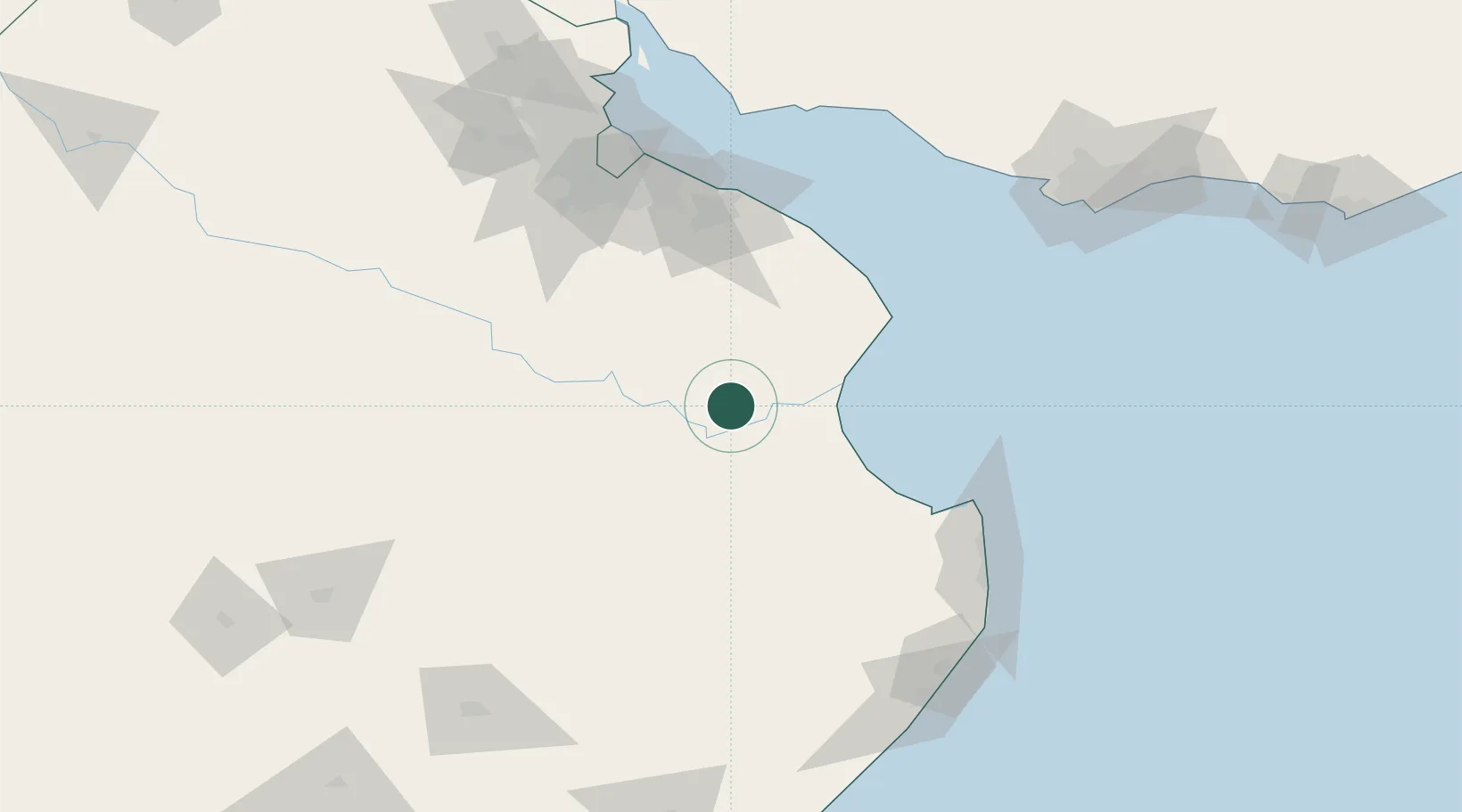
Hub Profile
Region
B
Location
Nearby Logistics Neighbours
Cities
- 1Chascomus35 km
- 2Brandsen84 km
- 3General Lavalle103 km
- 4Ringuelet110 km
- 5La Plata112 km
Ports
- 1La Plata115 km
- 2Buenos Aires147 km
- 3Colonia156 km
- 4Puerto Sauce165 km
- 5Montevideo187 km
Airports
- 1La Plata Airport100 km
- 2Ezeiza International Airport - Ministro Pistarini130 km
- 3Santa Teresita Airport130 km
- 4Aeroparque Jorge Newbery153 km
- 5El Palomar Airport154 km
Trade Zones
- 1La Plata Free Trade Zone113 km
- 2Zona Sur Buenos Aires147 km
- 3Colonia Free Zone155 km
- 4Libertad Free Zone179 km
- 5Colonia Suiza Free Zone182 km
DatabookThe Record of Consolidated Knowledge
Argentina beyond logistics?