Transport Functions
Multimodal
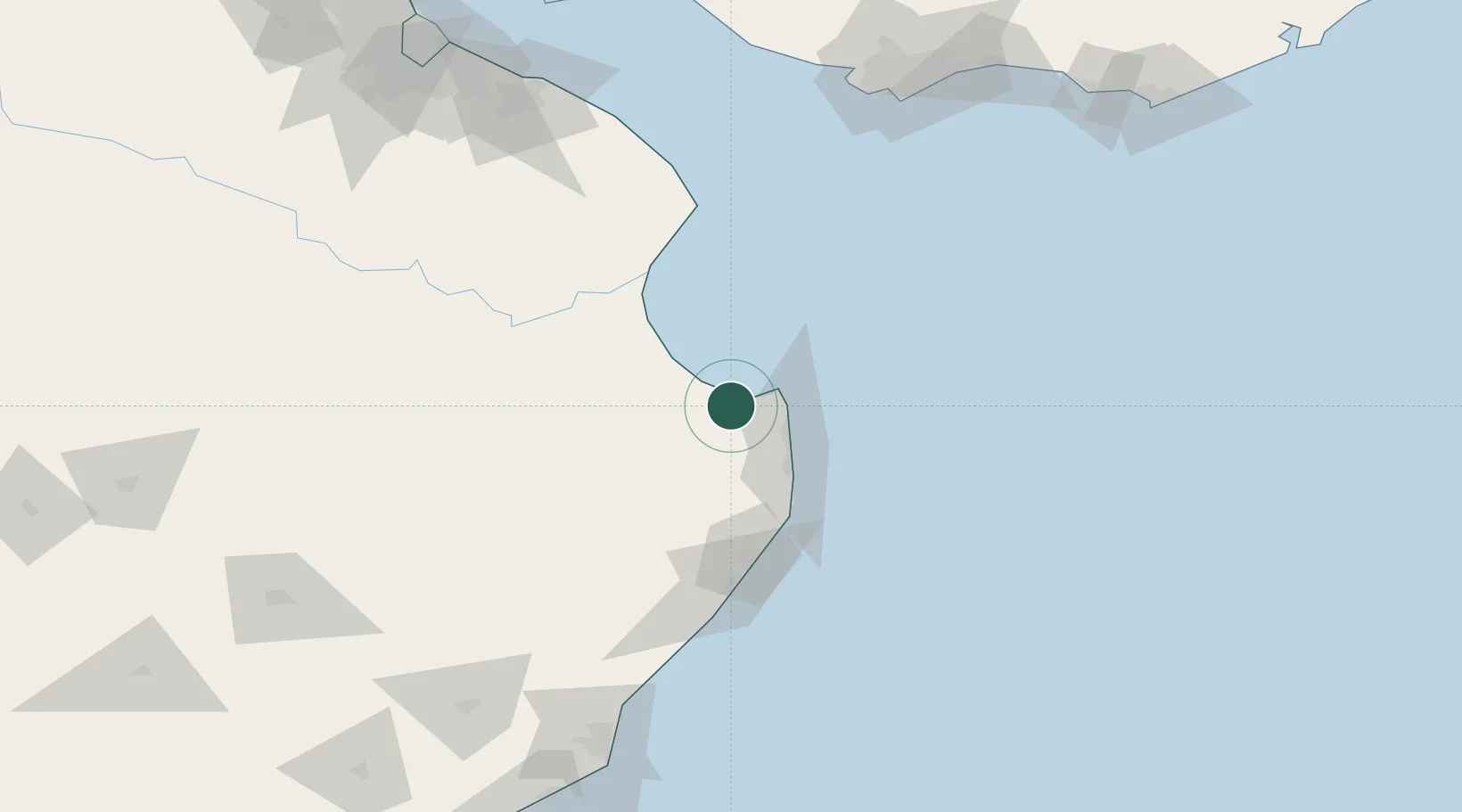
Hub Profile
Place type
Provincial seat
Region
Buenos Aires
Time zone
America/Argentina/Buenos_Aires
Elevation
4 m
Location
Nearby Logistics Neighbours
Cities
- 1Cabo San Antonio54 km
- 2Punta Medanos55 km
- 3Lezama (Manuel J. Cobo)103 km
- 4Chascomus132 km
- 5Brandsen179 km
Ports
- 1Montevideo180 km
- 2Mar Del Plata188 km
- 3La Plata193 km
- 4Puerto Sauce223 km
- 5Colonia229 km
Airports
- 1Santa Teresita Airport27 km
- 2Villa Gesell Airport93 km
- 3Ástor Piazzola International Airport179 km
- 4La Plata Airport180 km
- 5Ángel S. Adami International Airport190 km
Trade Zones
- 1Aguada Park Free Zone182 km
- 2World Trade Center Free Zone183 km
- 3La Plata Free Trade Zone192 km
- 4Parque de las Ciencias Free Zone196 km
- 5Zonamerica Free Zone197 km
DatabookThe Record of Consolidated Knowledge
Argentina beyond logistics?