Transport Functions
Multimodal
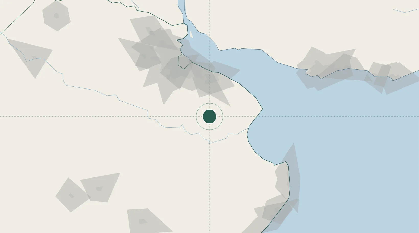
Hub Profile
Place type
Provincial seat
Region
Buenos Aires
Population
47,524
Time zone
America/Argentina/Buenos_Aires
Elevation
19 m
Location
Nearby Logistics Neighbours
Cities
- 1Lezama (Manuel J. Cobo)35 km
- 2Brandsen49 km
- 3Ringuelet76 km
- 4La Plata80 km
- 5Puerto Ingeniero M. Rocca80 km
Ports
- 1La Plata82 km
- 2Buenos Aires112 km
- 3Colonia123 km
- 4Puerto Sauce136 km
- 5Montevideo180 km
Airports
- 1La Plata Airport67 km
- 2Ezeiza International Airport - Ministro Pistarini95 km
- 3Aeroparque Jorge Newbery118 km
- 4El Palomar Airport119 km
- 5San Fernando Airport134 km
Trade Zones
- 1La Plata Free Trade Zone80 km
- 2Zona Sur Buenos Aires112 km
- 3Colonia Free Zone123 km
- 4Montes de Plata Free Zone149 km
- 5Colonia Suiza Free Zone156 km
DatabookThe Record of Consolidated Knowledge
Argentina beyond logistics?