Transport Functions
Multimodal
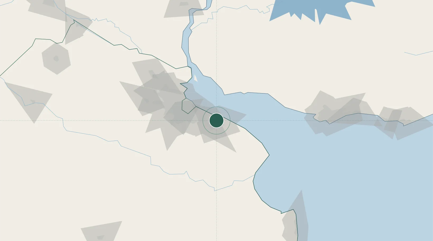
Hub Profile
Place type
Populated place
Region
Buenos Aires
Time zone
America/Argentina/Buenos_Aires
Elevation
11 m
Location
Nearby Logistics Neighbours
Cities
- 1Puerto Ingeniero M. Rocca6 km
- 2La Plata9 km
- 3Quilmes32 km
- 4Villa Dominico38 km
- 5Villa Galicia38 km
Ports
- 1La Plata11 km
- 2Buenos Aires47 km
- 3Colonia48 km
- 4Puerto Sauce70 km
- 5Nueva Palmira118 km
Airports
Trade Zones
- 1La Plata Free Trade Zone8 km
- 2Colonia Free Zone48 km
- 3Zona Sur Buenos Aires55 km
- 4Montes de Plata Free Zone74 km
- 5Colonia Suiza Free Zone93 km
DatabookThe Record of Consolidated Knowledge
Argentina beyond logistics?