UN/LOCODE hub · Argentina
ARBRD

Brandsen

-35.1667°, -58.2333°
1
Transport functions

Transport Functions

Multimodal
UN/LOCODE

Hub Profile

Region
B
GeoNames

Location

Location of ARBRD
Natural Earth 10m (public domain) · B · ARBRD · -35.17, -58.23GoogleOSMYandex

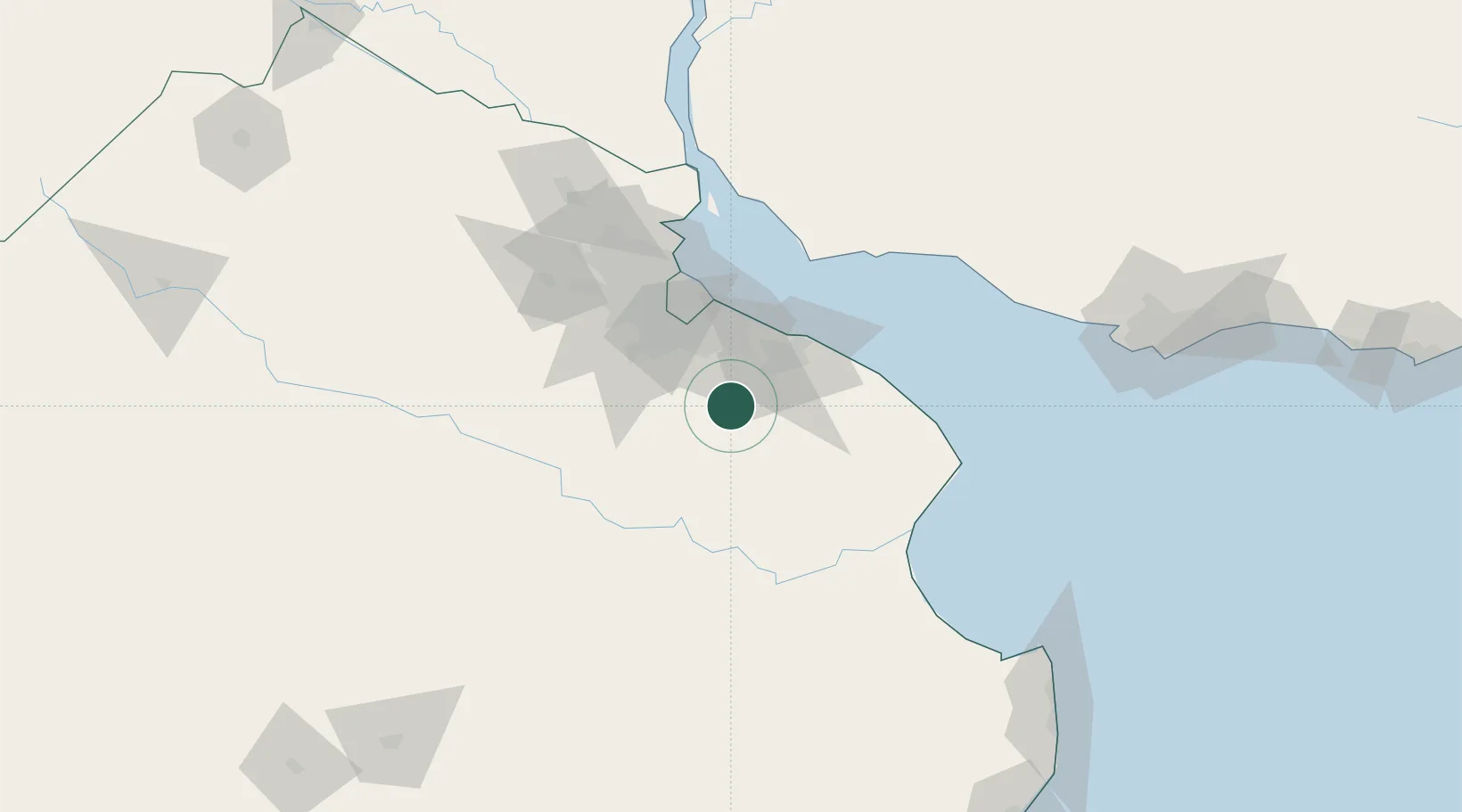
Nearby Logistics Neighbours

Cities
  1. 1Ringuelet39 km
  2. 2Canning42 km
  3. 3Puerto Ingeniero M. Rocca45 km
  4. 4Villa Galicia45 km
  5. 5La Plata47 km
Nearest neighbours — logibook spatial index (haversine) over the source coordinates
Ports
  1. 1La Plata49 km
  2. 2Buenos Aires64 km
  3. 3Colonia85 km
  4. 4Puerto Sauce109 km
  5. 5Campana131 km
Nearest neighbours — logibook spatial index (haversine) over the source coordinates
Airports
  1. 1La Plata Airport38 km
  2. 2Ezeiza International Airport - Ministro Pistarini47 km
  3. 3Aeroparque Jorge Newbery70 km
  4. 4El Palomar Airport71 km
  5. 5San Fernando Airport86 km
Nearest neighbours — logibook spatial index (haversine) over the source coordinates
Trade Zones
  1. 1La Plata Free Trade Zone46 km
  2. 2Zona Sur Buenos Aires63 km
  3. 3Colonia Free Zone86 km
  4. 4Montes de Plata Free Zone106 km
  5. 5Colonia Suiza Free Zone131 km
Nearest neighbours — logibook spatial index (haversine) over the source coordinates
DatabookThe Record of Consolidated Knowledge
Argentina beyond logistics?
Browse databook

All Sources

LocationsUN/LOCODE
UN/LOCODE — free
Portsthe NGA World Port Index
Public domain (US gov)
AirportsOurAirports
Public domain
Trade Zonesthe World Bank SEZ database
CC BY 4.0
Trade ZonesOpen Zone Map
CC BY
← Argentina locations