Medium airport · Argentina

Santa Teresita AirportSAZL
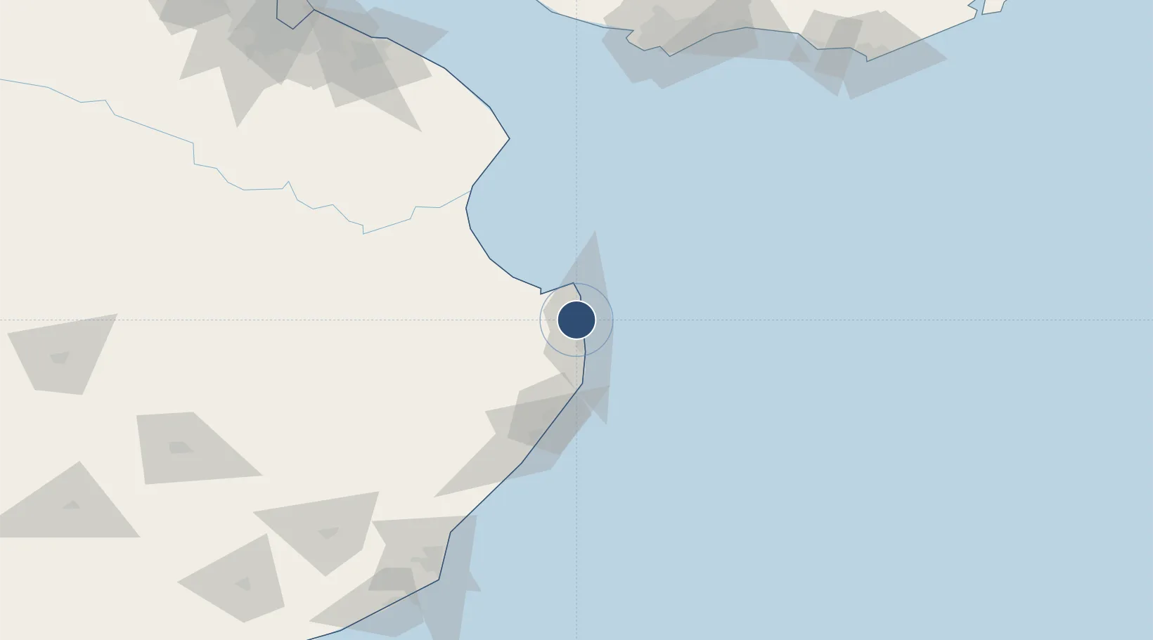
-36.5423°, -56.7218°
4,921 ft
Longest runway
1
Runways
9 ft
Elevation

Runway & Layout

Santa Teresita Airport runway & taxiway layout
Runway & taxiway layout — OpenStreetMap (ODbL) / OurAirports

Radio Frequencies

RDO
122.1 MHz
OurAirports

Navaids

STR NDB Santa Teresita 365 kHz
OurAirports

Runways · 1

RunwayDimensions SurfaceTrue headingLit
17/35 4,921 × 98ft Asphalt 170°
OurAirports

Airport Specifications

IATA code
SST
OurAirports
ICAO code
SAZL
OurAirports
Airport class
Medium airport
OurAirports
Scheduled service
Yes
OurAirports
Runway surface
Asphalt
OurAirports
Served city
Santa Teresita
OurAirports

Location

Location of SAZL
Natural Earth 10m (public domain) · Buenos Aires · SAZL · -36.54, -56.72GoogleOSMYandex

Nearby Logistics Neighbours

Airports
  1. 1Villa Gesell Airport82 km
  2. 2Ástor Piazzola International Airport172 km
  3. 3Ángel S. Adami International Airport199 km
  4. 4Carrasco General Cesáreo L. Berisso International Airport200 km
  5. 5La Plata Airport204 km
Nearest neighbours — logibook spatial index (haversine) over the source coordinates
Cities
  1. 1General Lavalle27 km
  2. 2Punta Medanos33 km
  3. 3Cabo San Antonio58 km
  4. 4Lezama (Manuel J. Cobo)130 km
  5. 5Chascomus159 km
Nearest neighbours — logibook spatial index (haversine) over the source coordinates
Ports
  1. 1Mar Del Plata181 km
  2. 2Montevideo188 km
  3. 3La Plata217 km
  4. 4Puerto Sauce244 km
  5. 5Colonia252 km
Nearest neighbours — logibook spatial index (haversine) over the source coordinates
Trade Zones
  1. 1Aguada Park Free Zone190 km
  2. 2World Trade Center Free Zone190 km
  3. 3Parque de las Ciencias Free Zone203 km
  4. 4Parque Las Ciencias Free Zone203 km
  5. 5Zonamerica Free Zone204 km
Nearest neighbours — logibook spatial index (haversine) over the source coordinates
DatabookThe Record of Consolidated Knowledge
Argentina beyond logistics?
Browse databook

All Sources

AirportsOurAirports
Public domain
Portsthe NGA World Port Index
Public domain (US gov)
LocationsUN/LOCODE
UN/LOCODE — free
Trade Zonesthe World Bank SEZ database
CC BY 4.0
Trade ZonesOpen Zone Map
CC BY
InfrastructureOpenStreetMap
ODbL 1.0
← Argentina airports