Seaport · Argentina
La PlataARLPG
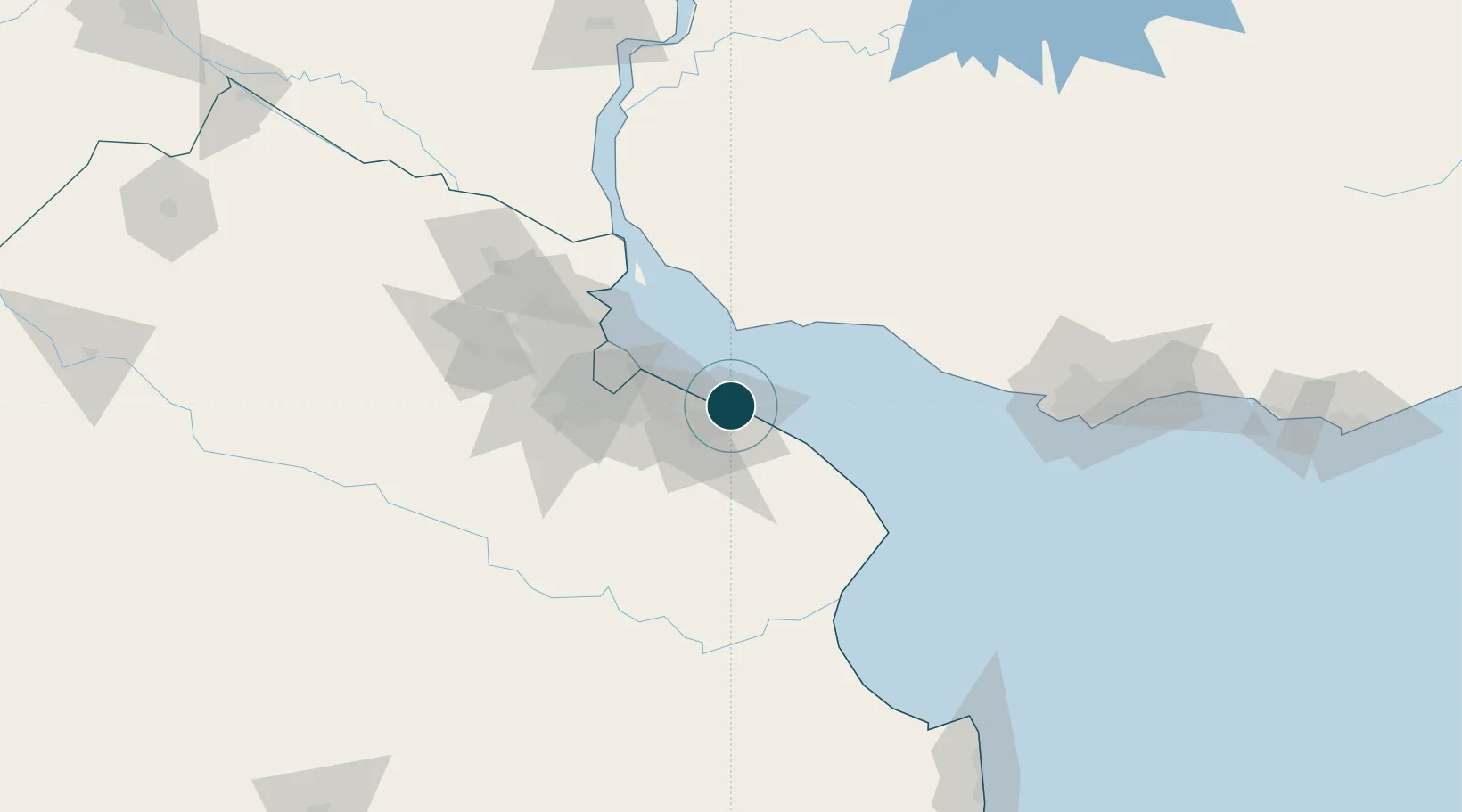
-34.8333°, -57.8833°
7.9 m
Channel depth
1
Container terminals
33.0
Port liner connectivity
Channel & Berth Profile
Pilotage, Tugs & Services
Pilotage compulsoryYES
Pilotage availableYES
Pilotage advisableYES
Tug assistanceYES
Shore powerYES
Potable waterYES
Diesel bunkersYES
MedicalYES
Garbage disposalYES
Facilities & Capabilities
Container—
Ro-Ro—
Liquid bulk—
Dry bulk—
Oil terminal—
Break bulk—
Dry dockNO
RepairsNO
BunkeringYES
Rail linkYES
Dangerous cargo—
ISPS security—
Harbour Specifications
Harbour size
Medium
Harbour type
River (Basins)
Shelter
Excellent
Water body
Rio de la Plata; South Atlantic Ocean
Tidal range
1 m
Overhead limit
Yes
Pilotage
Yes
Liner Connectivity
33
PLSCI
Port Liner Shipping Connectivity Index for La Plata, as published by UNCTAD for the latest available quarter. Higher values indicate stronger scheduled liner-shipping integration.
Shown relative to the highest per-port PLSCI in the dataset (1,657.9).
Location
Container Terminals · 1
LA PLATA TERMINAL DE CONTENEDORES (TECPLATA)
PLP TECPLATA SA / ICTSI
Nearby Logistics Neighbours
Ports
- 1Colonia41 km
- 2Buenos Aires51 km
- 3Puerto Sauce60 km
- 4Nueva Palmira116 km
- 5Campana125 km
Cities
- 1Puerto Ingeniero M. Rocca5 km
- 2Ringuelet11 km
- 3Quilmes37 km
- 4Villa Dominico43 km
- 5Dock Sur46 km
Airports
Trade Zones
- 1La Plata Free Trade Zone3 km
- 2Colonia Free Zone41 km
- 3Zona Sur Buenos Aires60 km
- 4Montes de Plata Free Zone69 km
- 5Colonia Suiza Free Zone82 km
DatabookThe Record of Consolidated Knowledge
Argentina beyond logistics?