UN/LOCODE hub · Argentina
ARLPG
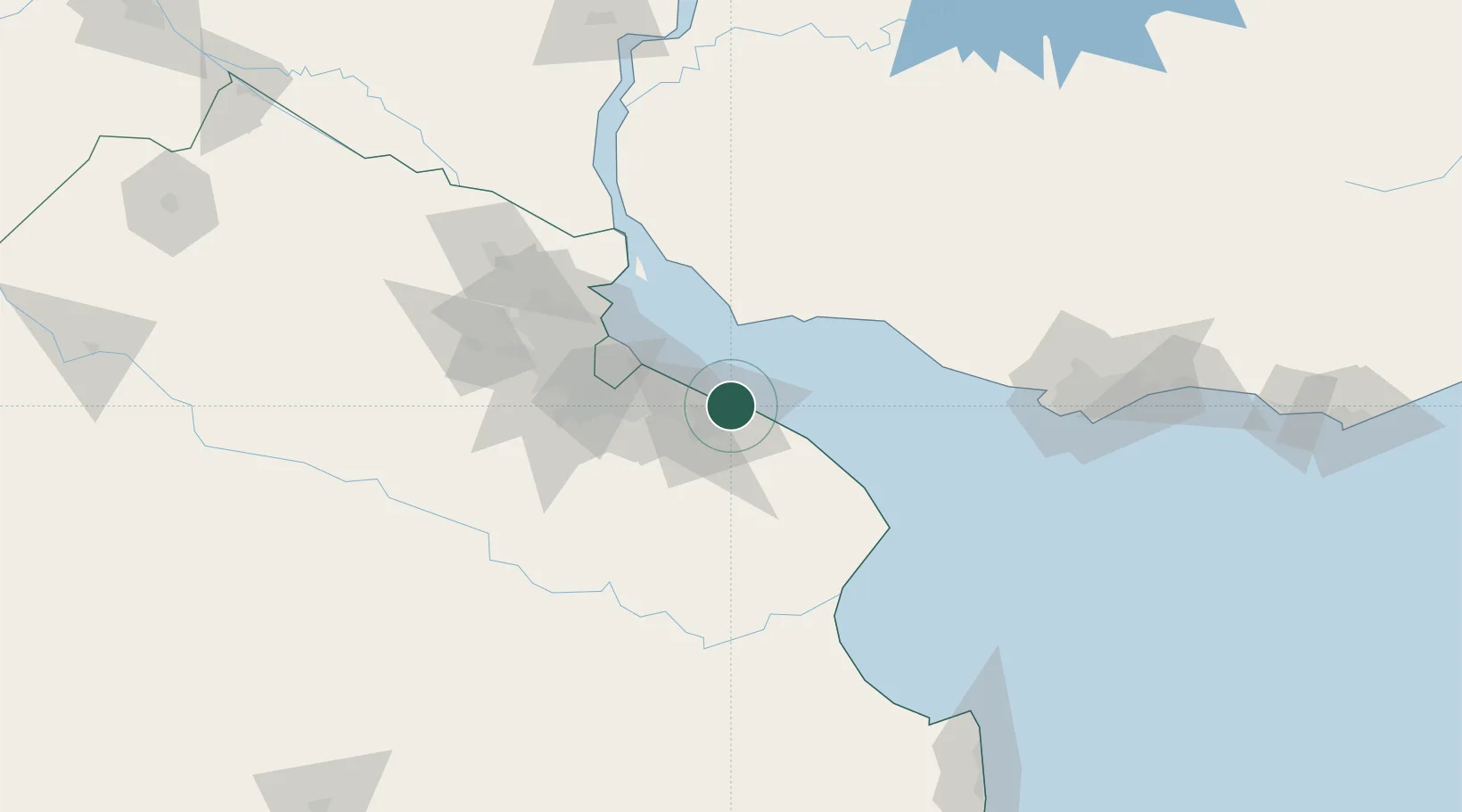
La Plata
-34.8571°, -57.8883°
195,443
Population
2
Transport functions
1
Container terminals
Transport Functions
Port
Airport
Hub Profile
Place type
Regional capital
Region
Buenos Aires
Population
195,443
Time zone
America/Argentina/Buenos_Aires
Elevation
27 m
Logistics facilities
2
Container terminals
1
Location
Nearby Logistics Neighbours
Cities
- 1Puerto Ingeniero M. Rocca4 km
- 2Ringuelet9 km
- 3Quilmes38 km
- 4Villa Dominico44 km
- 5Villa Galicia46 km
Ports
- 1Colonia44 km
- 2Buenos Aires52 km
- 3Puerto Sauce62 km
- 4Nueva Palmira119 km
- 5Campana126 km
Airports
Trade Zones
- 1La Plata Free Trade Zone2 km
- 2Colonia Free Zone43 km
- 3Zona Sur Buenos Aires61 km
- 4Montes de Plata Free Zone72 km
- 5Colonia Suiza Free Zone85 km
DatabookThe Record of Consolidated Knowledge
Argentina beyond logistics?