Transport Functions
Port
Hub Profile
Region
B
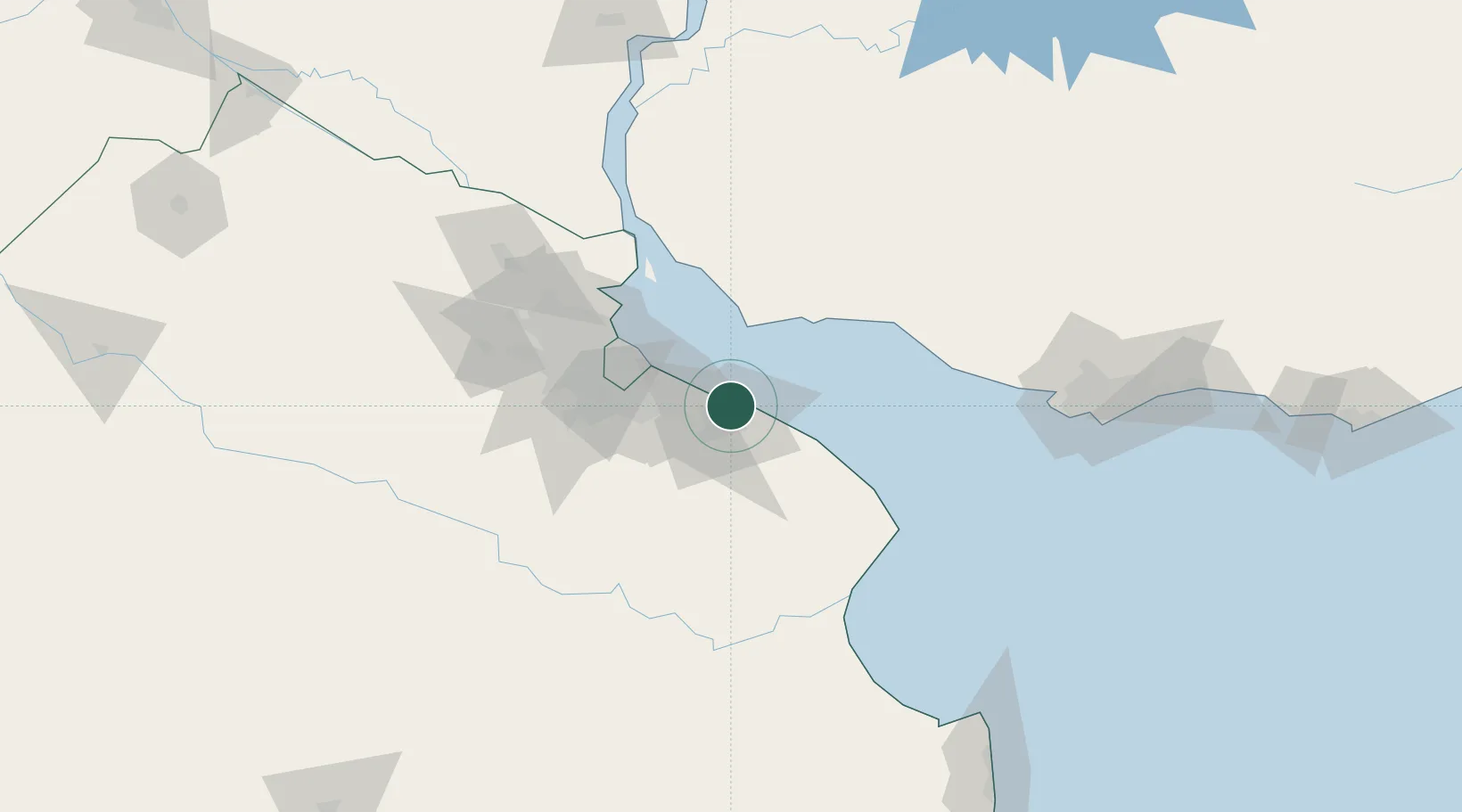
Location
Nearby Logistics Neighbours
Cities
- 1La Plata4 km
- 2Ringuelet6 km
- 3Quilmes34 km
- 4Villa Dominico40 km
- 5Villa Galicia42 km
Ports
- 1La Plata5 km
- 2Colonia43 km
- 3Buenos Aires48 km
- 4Puerto Sauce64 km
- 5Nueva Palmira116 km
Airports
Trade Zones
- 1La Plata Free Trade Zone3 km
- 2Colonia Free Zone43 km
- 3Zona Sur Buenos Aires57 km
- 4Montes de Plata Free Zone70 km
- 5Colonia Suiza Free Zone87 km
DatabookThe Record of Consolidated Knowledge
Argentina beyond logistics?