Transport Functions
Port
Multimodal
Hub Profile
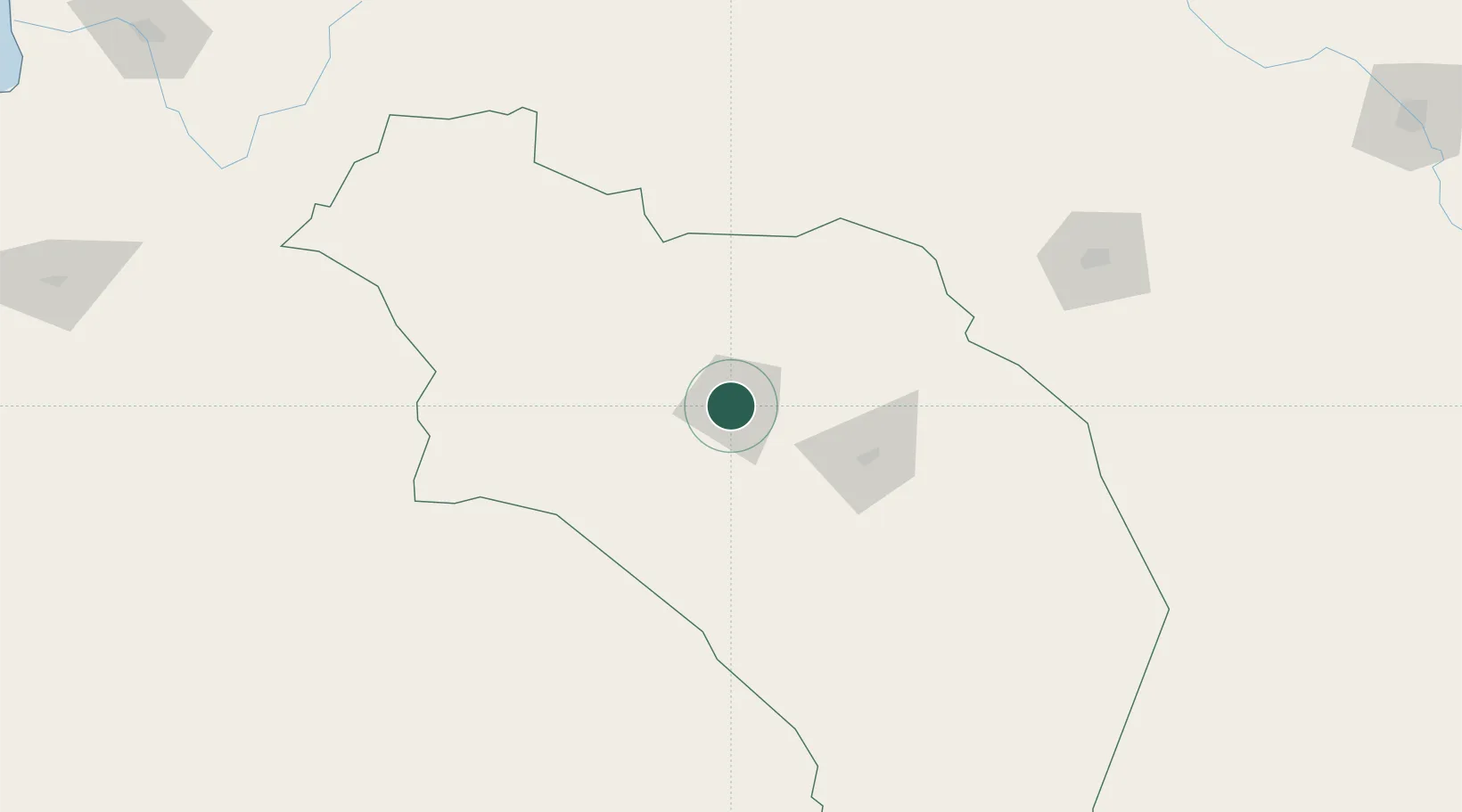
Place type
Provincial seat
Region
La Rioja
Population
42,248
Time zone
America/Argentina/La_Rioja
Elevation
1,107 m
Location
Nearby Logistics Neighbours
Cities
- 1Poman151 km
- 2San Fernando del Valle de Catamarca186 km
- 3Andalgalá209 km
- 4Milagro252 km
- 5Lavalle255 km
Ports
- 1Huasco374 km
- 2Coquimbo381 km
- 3Bahia Herradura Guayacan384 km
- 4Puerto Caldera403 km
- 5Puerto Calderilla403 km
Airports
Trade Zones
- 1Zona Franca Tucuman Free Trade Zone343 km
- 2Córdoba Free Trade Zone397 km
- 3Zona Franca Mendoza Free Trade Zone456 km
- 4Zona Franca de Salta553 km
- 5Zona Franca de San Luis563 km
DatabookThe Record of Consolidated Knowledge
Argentina beyond logistics?