Medium airport · Chile
Vallenar AirportSCLL
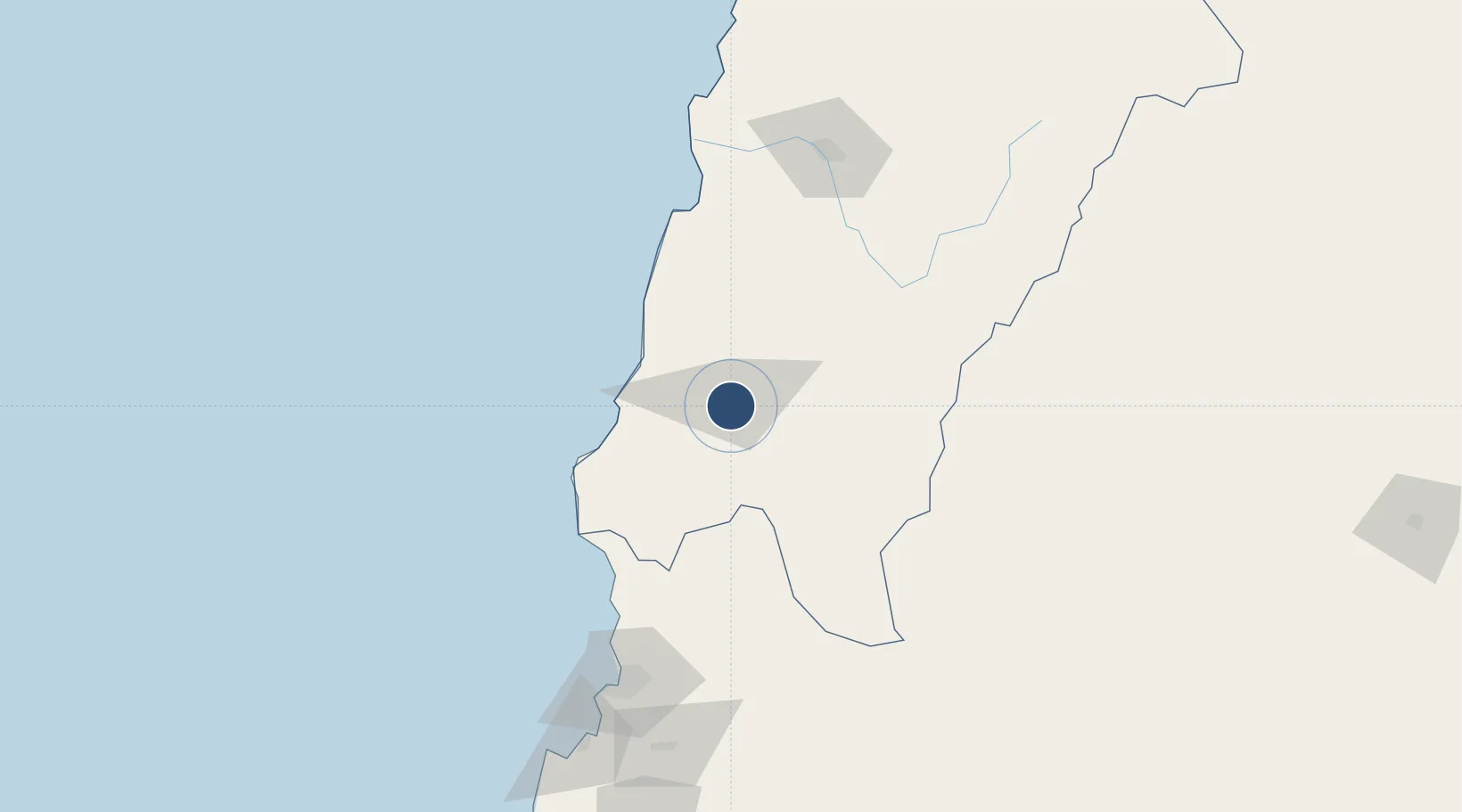
-28.5964°, -70.7560°
4,624 ft
Longest runway
1
Runways
1,725 ft
Elevation
Runway & Layout

Radio Frequencies
INFO
127.7 MHz
Runways · 1
| Runway | Dimensions | Surface | True heading | Lit |
|---|---|---|---|---|
| 10/28 | 4,624 × 98ft | Asphalt | 098° | ✓ |
Airport Specifications
IATA code
VLR
ICAO code
SCLL
Airport class
Medium airport
Scheduled service
No
Runway surface
Asphalt
Served city
Vallenar
Location
Nearby Logistics Neighbours
Airports
- 1Desierto de Atacama Airport149 km
- 2La Florida Airport153 km
- 3Chañaral Airport252 km
- 4Ricardo García Posada Airport272 km
- 5Las Breas Airport339 km
Cities
- 1Vallenar3 km
- 2Freirina32 km
- 3Huasco48 km
- 4Cruz Grande109 km
- 5Tierra Amarilla132 km
Ports
- 1Huasco50 km
- 2Coquimbo161 km
- 3Bahia Herradura Guayacan164 km
- 4Puerto Calderilla169 km
- 5Puerto Caldera172 km
Trade Zones
- 1Zona Franca Mendoza Free Trade Zone525 km
- 2Zona Franca Tucuman Free Trade Zone583 km
- 3Córdoba Free Trade Zone701 km
- 4Zona Franca de Salta714 km
- 5Zona Franca de San Luis787 km
DatabookThe Record of Consolidated Knowledge
Chile beyond logistics?