Medium airport · Argentina

Domingo Faustino Sarmiento AirportSANU
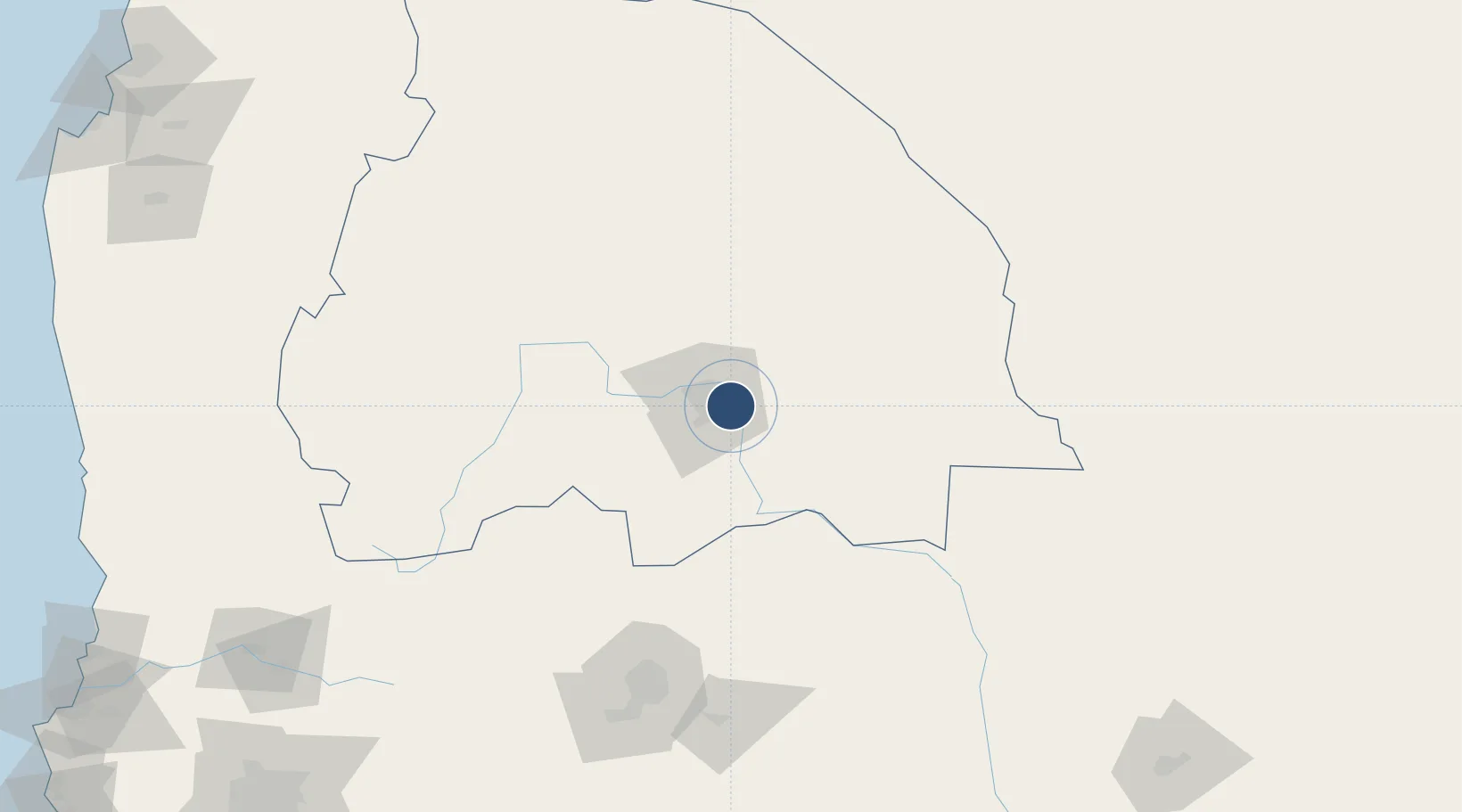
-31.5715°, -68.4182°
8,071 ft
Longest runway
1
Runways
1,958 ft
Elevation

Runway & Layout

Domingo Faustino Sarmiento Airport runway & taxiway layout
Runway & taxiway layout — OpenStreetMap (ODbL) / OurAirports

Radio Frequencies

TWR
119.35 MHz
APP
119.35 MHz
OurAirports

Navaids

JUA VOR-DME San Juan 113.10 MHz
OurAirports

Runways · 1

RunwayDimensions SurfaceTrue headingLit
18/36 8,071 × 148ft Asphalt 180°
OurAirports

Airport Specifications

IATA code
UAQ
OurAirports
ICAO code
SANU
OurAirports
Airport class
Medium airport
OurAirports
Scheduled service
Yes
OurAirports
Runway surface
Asphalt
OurAirports
Served city
San Juan
OurAirports

Location

Location of SANU
Natural Earth 10m (public domain) · San Juan · SANU · -31.57, -68.42GoogleOSMYandex

Nearby Logistics Neighbours

Cities
  1. 1Sta. Lucía8 km
  2. 2Chimbas15 km
  3. 3Zonda30 km
  4. 4Godoy Cruz156 km
  5. 5Luzuriaga158 km
Nearest neighbours — logibook spatial index (haversine) over the source coordinates
Ports
  1. 1Bahia Quintero (Ventanas)322 km
  2. 2Coquimbo332 km
  3. 3Bahia Herradura Guayacan333 km
  4. 4Bahia De Valparaiso342 km
  5. 5Puerto San Antonio374 km
Nearest neighbours — logibook spatial index (haversine) over the source coordinates
Trade Zones
  1. 1Zona Franca Mendoza Free Trade Zone174 km
  2. 2Zona Franca de San Luis393 km
  3. 3Justo Daract Free Trade Zone394 km
  4. 4Córdoba Free Trade Zone404 km
  5. 5Zona Franca Tucuman Free Trade Zone611 km
Nearest neighbours — logibook spatial index (haversine) over the source coordinates
DatabookThe Record of Consolidated Knowledge
Argentina beyond logistics?
Browse databook

All Sources

AirportsOurAirports
Public domain
Portsthe NGA World Port Index
Public domain (US gov)
LocationsUN/LOCODE
UN/LOCODE — free
Trade Zonesthe World Bank SEZ database
CC BY 4.0
Trade ZonesOpen Zone Map
CC BY
InfrastructureOpenStreetMap
ODbL 1.0
← Argentina airports