Transport Functions
Multimodal
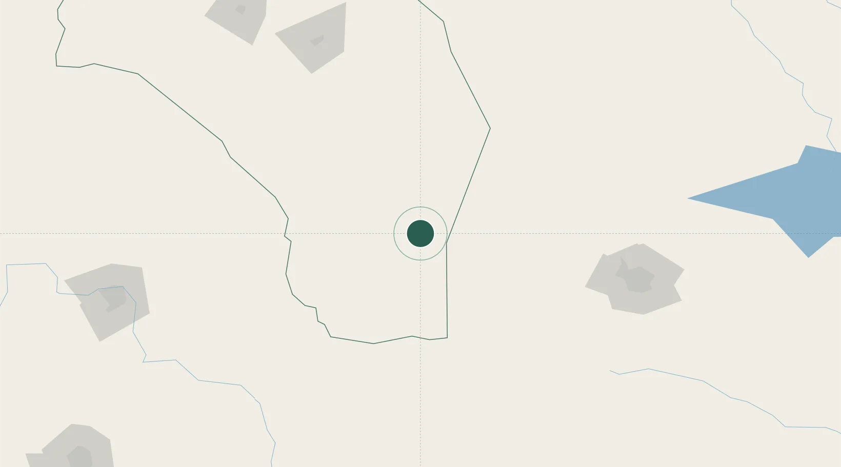
Hub Profile
Place type
Provincial seat
Region
La Rioja
Time zone
America/Argentina/La_Rioja
Elevation
374 m
Location
Nearby Logistics Neighbours
Cities
- 1Juárez Celman175 km
- 2Monte Cristo197 km
- 3Río Tercero218 km
- 4La Toma229 km
- 5Chilecito252 km
Ports
- 1Santa Fe507 km
- 2Diamante519 km
- 3Parana523 km
- 4Coquimbo526 km
- 5Bahia Herradura Guayacan529 km
Airports
Trade Zones
DatabookThe Record of Consolidated Knowledge
Argentina beyond logistics?