Channel & Berth Profile
Pilotage, Tugs & Services
Pilotage compulsoryYES
Pilotage availableYES
Pilotage advisableNO
Tug assistanceNO
Salvage tugsNO
Potable waterYES
Diesel bunkersYES
MedicalYES
Garbage disposalNO
Facilities & Capabilities
Container—
Ro-Ro—
Liquid bulk—
Dry bulk—
Oil terminal—
Break bulk—
Dry dock—
RepairsNO
BunkeringYES
Rail linkYES
Dangerous cargo—
ISPS security—
Harbour Specifications
Harbour size
Very Small
Harbour type
Open Roadstead
Shelter
Good
Water body
South Pacific Ocean
Tidal range
2 m
Overhead limit
No
Pilotage
Yes
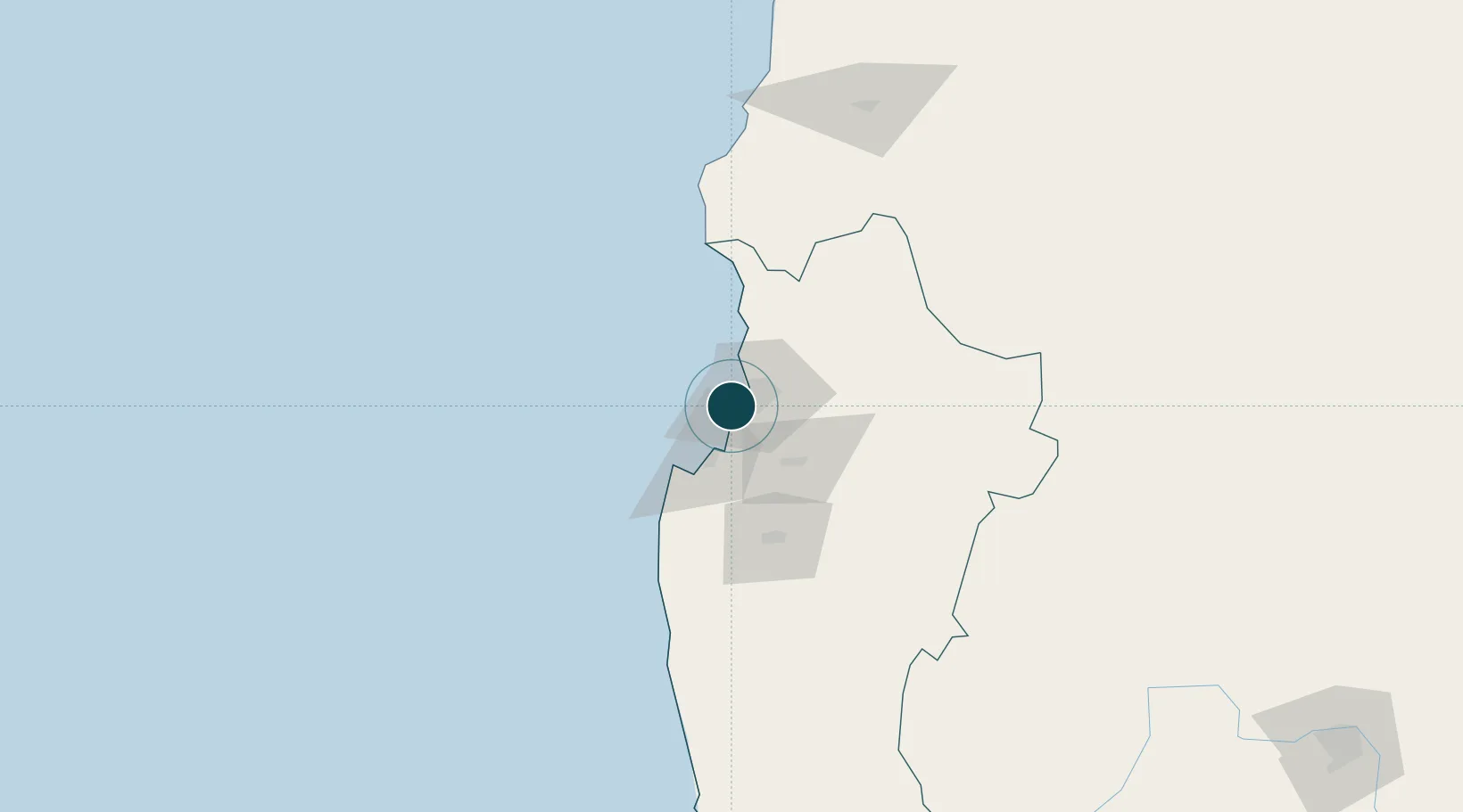
Location
Nearby Logistics Neighbours
Ports
- 1Coquimbo4 km
- 2Huasco167 km
- 3Bahia Quintero (Ventanas)312 km
- 4Puerto Calderilla324 km
- 5Puerto Caldera329 km
Cities
- 1Coquimbo2 km
- 2La Serena16 km
- 3Tongoy33 km
- 4Cruz Grande58 km
- 5Vicuña64 km
Airports
- 1La Florida Airport17 km
- 2Vallenar Airport164 km
- 3Desierto de Atacama Airport306 km
- 4Viña del Mar Airport332 km
- 5Domingo Faustino Sarmiento Airport333 km
Trade Zones
DatabookThe Record of Consolidated Knowledge
Chile beyond logistics?