Transport Functions
Rail
Road
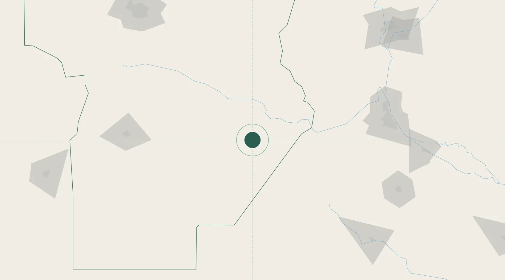
Hub Profile
Place type
Populated place
Region
Cordoba
Population
6,920
Time zone
America/Argentina/Cordoba
Elevation
119 m
Location
Nearby Logistics Neighbours
Cities
- 1Canals47 km
- 2Arias51 km
- 3Ticino97 km
- 4Villa Nueva105 km
- 5Santa Isabel114 km
Ports
- 1San Lorenzo181 km
- 2Puerto San Martin182 km
- 3Rosario185 km
- 4Villa Constitucion211 km
- 5San Nicolas221 km
Airports
Trade Zones
- 1Justo Daract Free Trade Zone250 km
- 2Zona Franca de San Luis250 km
- 3Córdoba Free Trade Zone259 km
- 4General Pico Free Zone297 km
- 5Nueva Palmira Free Zone395 km
DatabookThe Record of Consolidated Knowledge
Argentina beyond logistics?