Transport Functions
Multimodal
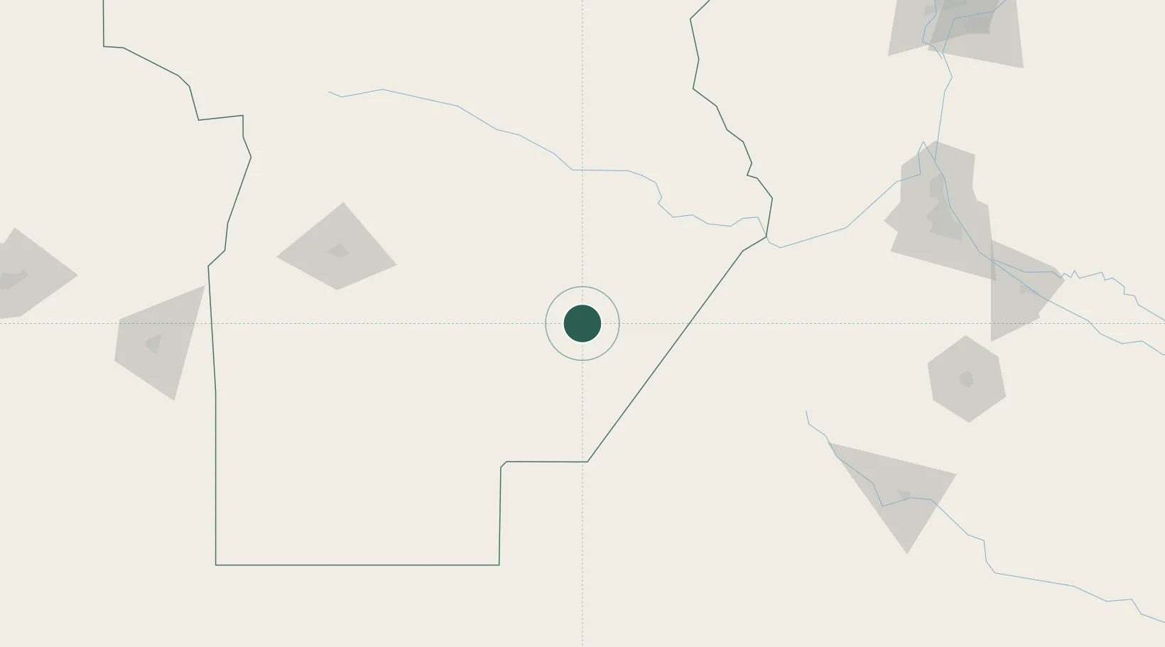
Hub Profile
Place type
Populated place
Region
Cordoba
Population
8,343
Time zone
America/Argentina/Cordoba
Elevation
116 m
Location
Nearby Logistics Neighbours
Cities
- 1Arias44 km
- 2Monte Maíz47 km
- 3Rufino82 km
- 4Ticino108 km
- 5Santa Isabel116 km
Ports
- 1San Lorenzo219 km
- 2Rosario220 km
- 3Puerto San Martin221 km
- 4Villa Constitucion239 km
- 5San Nicolas247 km
Airports
Trade Zones
- 1Justo Daract Free Trade Zone215 km
- 2Zona Franca de San Luis215 km
- 3General Pico Free Zone251 km
- 4Córdoba Free Trade Zone280 km
- 5Nueva Palmira Free Zone415 km
DatabookThe Record of Consolidated Knowledge
Argentina beyond logistics?